File:Great Dun Fell - geograph.org.uk - 1843.jpg
Jump to navigation
Jump to search
No higher resolution available.
Great_Dun_Fell_-_geograph.org.uk_-_1843.jpg (640 × 434 pixels, file size: 48 KB, MIME type: image/jpeg)
Captions
Captions
Add a one-line explanation of what this file represents
Summary[edit]
| Description |
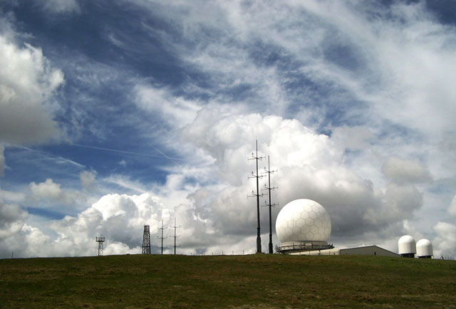
English: Great Dun Fell. A dramatic sky makes an appropriate backdrop for the strange structures on the summit. The big globe is the Civil Aviation Radar. A tarmac road extends all the way to the summit at 848 metres (about 2760 feet). |
| Date | |
| Source | From geograph.org.uk |
| Author | Andy Stephenson |
| Other versions |
|
| Attribution (required by the license) | Andy Stephenson / Great Dun Fell / |

| Object location | | View this and other nearby images on: OpenStreetMap |
|---|
_&language=en)
Licensing[edit]

|
This image was taken from the Geograph project collection. See this photograph's page on the Geograph website for the photographer's contact details. The copyright on this image is owned by Andy Stephenson and is licensed for reuse under the Creative Commons Attribution-ShareAlike 2.0 license.
|
This file is licensed under the Creative Commons Attribution-Share Alike 2.0 Generic license.
Attribution: Andy Stephenson
- You are free:
- to share – to copy, distribute and transmit the work
- to remix – to adapt the work
- Under the following conditions:
- attribution – You must give appropriate credit, provide a link to the license, and indicate if changes were made. You may do so in any reasonable manner, but not in any way that suggests the licensor endorses you or your use.
- share alike – If you remix, transform, or build upon the material, you must distribute your contributions under the same or compatible license as the original.
File history
Click on a date/time to view the file as it appeared at that time.
| Date/Time | Thumbnail | Dimensions | User | Comment | |
|---|---|---|---|---|---|
| current | 01:43, 30 January 2010 | | 640 × 434 (48 KB) | GeographBot (talk | contribs) | == {{int:filedesc}} == {{Information |description={{en|1=Great Dun Fell. A dramatic sky makes an appropriate backdrop for the strange structures on the summit. The big globe is the Civil Aviation Radar. A tarmac road extends all the way to the summit at 8 |
You cannot overwrite this file.
File usage on Commons
The following 2 pages use this file:
File usage on other wikis
The following other wikis use this file:
- Usage on arz.wikipedia.org
- Usage on ceb.wikipedia.org
- Usage on de.wikipedia.org
- Usage on ga.wikipedia.org
- Usage on lld.wikipedia.org
- Usage on sv.wikipedia.org
- Usage on www.wikidata.org