File:GreTurCyp.svg
Jump to navigation
Jump to search

Size of this PNG preview of this SVG file: 800 × 406 pixels. Other resolutions: 320 × 163 pixels | 640 × 325 pixels | 1,024 × 520 pixels | 1,280 × 650 pixels | 2,560 × 1,300 pixels | 2,315 × 1,176 pixels.
Original file (SVG file, nominally 2,315 × 1,176 pixels, file size: 83 KB)
Captions
Captions
Add a one-line explanation of what this file represents
Summary[edit]
| Description |
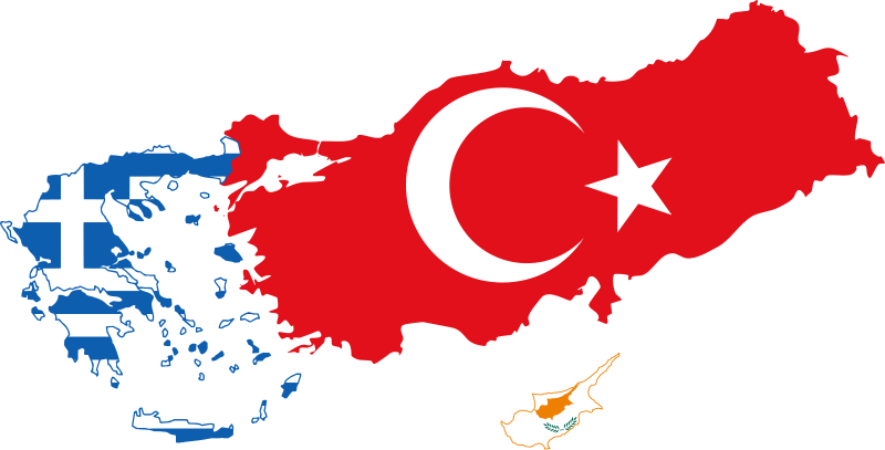
English: Flag-map of Greece, Turkey and Cyprus.
Français : Flagge-carte de la Grèce, la Turquie et de Cypre |
| Date | |
| Source | Own work |
| Author | Masterdeis |
Réalisé à partir de File:Europe political chart complete blank.svg
Licensing[edit]
I, the copyright holder of this work, hereby publish it under the following licenses:

|
Permission is granted to copy, distribute and/or modify this document under the terms of the GNU Free Documentation License, Version 1.2 or any later version published by the Free Software Foundation; with no Invariant Sections, no Front-Cover Texts, and no Back-Cover Texts. A copy of the license is included in the section entitled GNU Free Documentation License. |
This file is licensed under the Creative Commons Attribution-Share Alike 3.0 Unported, 2.5 Generic, 2.0 Generic and 1.0 Generic license.
- You are free:
- to share – to copy, distribute and transmit the work
- to remix – to adapt the work
- Under the following conditions:
- attribution – You must give appropriate credit, provide a link to the license, and indicate if changes were made. You may do so in any reasonable manner, but not in any way that suggests the licensor endorses you or your use.
- share alike – If you remix, transform, or build upon the material, you must distribute your contributions under the same or compatible license as the original.
You may select the license of your choice.
File history
Click on a date/time to view the file as it appeared at that time.
| Date/Time | Thumbnail | Dimensions | User | Comment | |
|---|---|---|---|---|---|
| current | 16:52, 13 April 2012 | | 2,315 × 1,176 (83 KB) | Дмитрий-5-Аверин (talk | contribs) | fix |
| 16:45, 13 April 2012 |  | 1,691 × 1,007 (89 KB) | Дмитрий-5-Аверин (talk | contribs) | fix | |
| 16:01, 23 January 2012 |  | 1,700 × 1,050 (91 KB) | Дмитрий-5-Аверин (talk | contribs) | Reverted to version as of 09:27, 10 July 2010 | |
| 16:00, 23 January 2012 |  | 1,700 × 1,050 (90 KB) | Дмитрий-5-Аверин (talk | contribs) | Reverted to version as of 09:22, 10 July 2010 | |
| 09:27, 10 July 2010 |  | 1,700 × 1,050 (91 KB) | Masterdeis (talk | contribs) | Ajout fond | |
| 09:22, 10 July 2010 |  | 1,700 × 1,050 (90 KB) | Masterdeis (talk | contribs) | Modifications | |
| 14:01, 9 July 2010 |  | 1,897 × 1,080 (10 KB) | Masterdeis (talk | contribs) | ajustements | |
| 13:51, 9 July 2010 |  | 2,000 × 1,500 (9 KB) | Masterdeis (talk | contribs) | {{Information |Description={{en|1=Map of Greece, Turkey and Cyprus.}} {{fr|1=Carte de la Grèce, la Turquie et de Cypre}} |Source={{own}} |Author=Masterdeis |Date=2010-07-09 |Permission= |other_versions= }} Réalisé à partir de [[:Fi |
You cannot overwrite this file.
File usage on Commons
There are no pages that use this file.
File usage on other wikis
The following other wikis use this file: