File:Gray's Inn Road - map 1.png
Jump to navigation
Jump to search
No higher resolution available.
Gray's_Inn_Road_-_map_1.png (360 × 540 pixels, file size: 198 KB, MIME type: image/png)
Captions
Captions
Add a one-line explanation of what this file represents

|
This city map image could be re-created using vector graphics as an SVG file. This has several advantages; see Commons:Media for cleanup for more information. If an SVG form of this image is available, please upload it and afterwards replace this template with
{{vector version available|new image name}}.
It is recommended to name the SVG file “Gray's Inn Road - map 1.svg”—then the template Vector version available (or Vva) does not need the new image name parameter. |
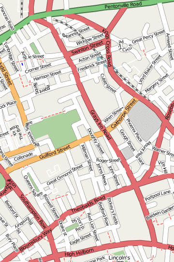
| Description | Map of Gray's Inn Road |
| Date | |
| Source | OpenStreetMap[1] |
| Author | Edward Betts |
| Permission (Reusing this file) |
This file is licensed under the Creative Commons Attribution-Share Alike 2.0 Generic license.
|
File history
Click on a date/time to view the file as it appeared at that time.
| Date/Time | Thumbnail | Dimensions | User | Comment | |
|---|---|---|---|---|---|
| current | 01:03, 20 February 2007 | | 360 × 540 (198 KB) | Edward (talk | contribs) | {{Information |Description=Map of w:Gray's Inn Road |Source=w:OpenStreetMap[http://www.openstreetmap.org/index.html?lat=51.524693087598365&lon=-0.11730274862022551&zoom=15] |Date=2007-02-20 |Author=Edward Betts |Permission={{cc-by-sa-2.0}} }} [ |
You cannot overwrite this file.
File usage on Commons
The following page uses this file:
File usage on other wikis
The following other wikis use this file:
- Usage on en.wikipedia.org
- Usage on fr.wikipedia.org
- Usage on it.wikipedia.org
- Usage on www.wikidata.org
- Usage on zh.wikipedia.org