File:Grand Tower Chute, southern end.jpg
Jump to navigation
Jump to search
Size of this preview: 800 × 450 pixels. Other resolutions: 320 × 180 pixels | 640 × 360 pixels | 1,024 × 576 pixels | 1,280 × 720 pixels | 2,816 × 1,584 pixels.
Original file (2,816 × 1,584 pixels, file size: 985 KB, MIME type: image/jpeg)
Captions
Captions
Add a one-line explanation of what this file represents
| Camera location | | View this and other nearby images on: OpenStreetMap |
|---|
| Description |
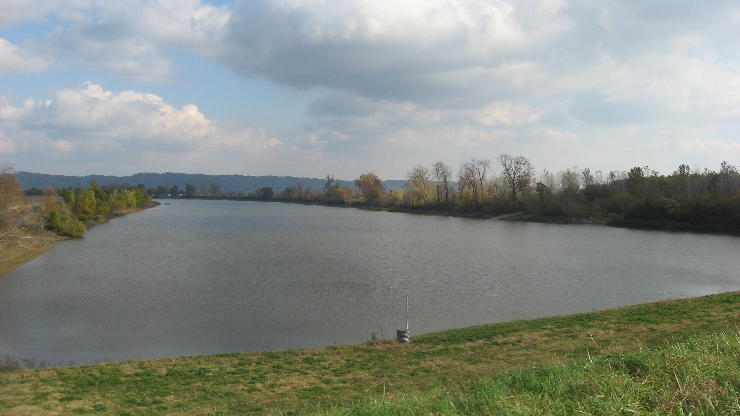
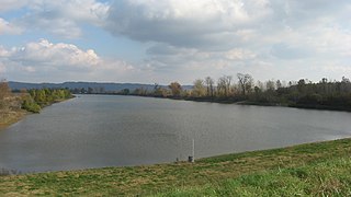
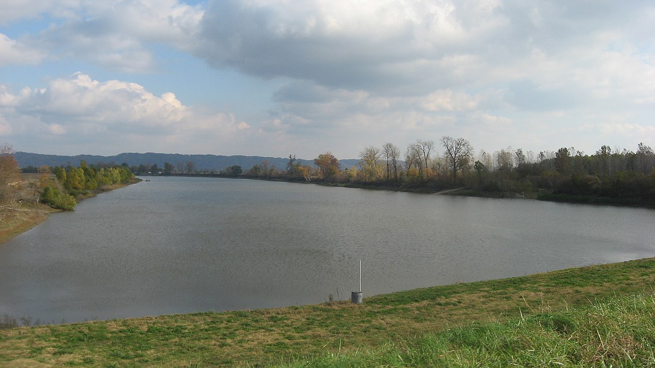
English: Looking eastward over the southern end of Grand Tower Chute, the oxbow lake that forms the perimeter of Grand Tower Island. The lake marks the boundary between Jackson County, Illinois (right) and Perry County, Missouri (left), in the United States. |
||
| Date | Taken on 2 November 2013 | ||
| Source | Own work | ||
| Author | Nyttend | ||
| Permission (Reusing this file) |
|
File history
Click on a date/time to view the file as it appeared at that time.
| Date/Time | Thumbnail | Dimensions | User | Comment | |
|---|---|---|---|---|---|
| current | 14:49, 4 November 2013 | | 2,816 × 1,584 (985 KB) | Nyttend (talk | contribs) | {{Location|37|34|57|N|89|30|20|W}} {{Information |Description={{en|Looking eastward over the southern end of Grand Tower Chute, the {{w|oxbow lake}} that forms the perimeter of {{w|Grand Tower Island}}. The lake marks the boundary between {{w|Jackson ... |
You cannot overwrite this file.
File usage on Commons
There are no pages that use this file.