File:Georgenkirche Rötha.jpg
Jump to navigation
Jump to search
Size of this preview: 530 × 600 pixels. Other resolutions: 212 × 240 pixels | 424 × 480 pixels | 678 × 768 pixels | 905 × 1,024 pixels | 1,637 × 1,853 pixels.
Original file (1,637 × 1,853 pixels, file size: 356 KB, MIME type: image/jpeg)
Captions
Captions
Add a one-line explanation of what this file represents
Summary[edit]
| Description |
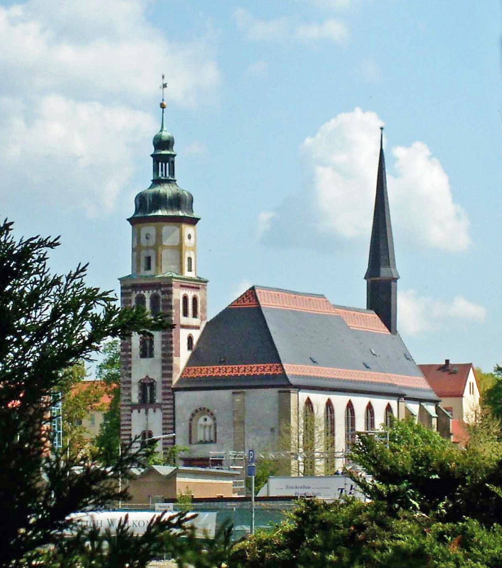
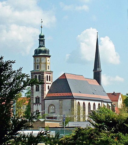
English: St. George Church at Rötha (Leipzig district, Saxony), view from the parc
Deutsch: Ansicht der Röthaer Georgenkirche vom Park aus |
| Date | |
| Source | Own work |
| Author | Jwaller |
| Camera location | | View this and other nearby images on: OpenStreetMap |
|---|
Licensing[edit]
I, the copyright holder of this work, hereby publish it under the following license:
This file is licensed under the Creative Commons Attribution-Share Alike 3.0 Unported license.
- You are free:
- to share – to copy, distribute and transmit the work
- to remix – to adapt the work
- Under the following conditions:
- attribution – You must give appropriate credit, provide a link to the license, and indicate if changes were made. You may do so in any reasonable manner, but not in any way that suggests the licensor endorses you or your use.
- share alike – If you remix, transform, or build upon the material, you must distribute your contributions under the same or compatible license as the original.

|
This image was uploaded as part of Wiki Loves Monuments 2011.
|
File history
Click on a date/time to view the file as it appeared at that time.
| Date/Time | Thumbnail | Dimensions | User | Comment | |
|---|---|---|---|---|---|
| current | 11:53, 30 March 2019 | | 1,637 × 1,853 (356 KB) | Martin Geisler (talk | contribs) | Korr. rechts oben |
| 18:58, 22 November 2017 |  | 1,637 × 1,853 (1.6 MB) | Martin Sg. (talk | contribs) | cutting, axis | |
| 06:35, 3 June 2012 |  | 2,864 × 2,144 (2.35 MB) | Geisler Martin (talk | contribs) | Tiefen augehellt, Ausschnitt | |
| 21:51, 17 September 2011 |  | 2,864 × 2,144 (322 KB) | Jwaller (talk | contribs) |
You cannot overwrite this file.
File usage on Commons
The following 2 pages use this file:
File usage on other wikis
The following other wikis use this file:
- Usage on azb.wikipedia.org
- Usage on de.wikipedia.org
- Usage on hsb.wikipedia.org
- Usage on www.wikidata.org