File:GOES coverage.svg
Jump to navigation
Jump to search

Size of this PNG preview of this SVG file: 713 × 455 pixels. Other resolutions: 320 × 204 pixels | 640 × 408 pixels | 1,024 × 653 pixels | 1,280 × 817 pixels | 2,560 × 1,634 pixels.
Original file (SVG file, nominally 713 × 455 pixels, file size: 161 KB)
Captions
Captions
Add a one-line explanation of what this file represents

Summary[edit]
| Description |
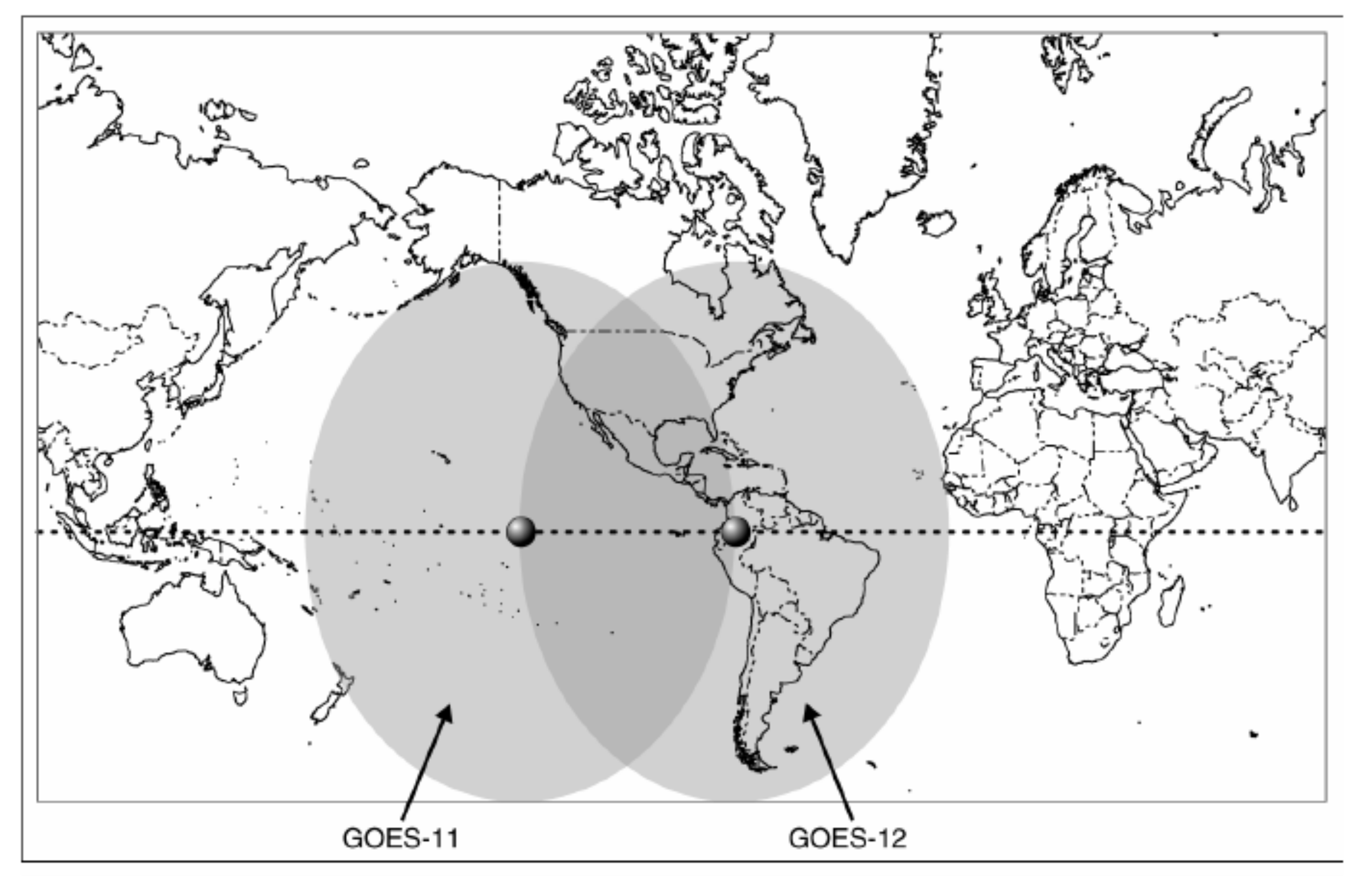
English: Extracted from the PDF shown. Saved as PNG using GIMP, converted to SVG using Inkscape.
Shows approximate coverage of the GOES 11 and 12 satellites. |
| Date | |
| Source | extracted from the pdf at: http://www.gpo.gov/fdsys/pkg/GAOREPORTS-GAO-07-1099T/pdf/GAOREPORTS-GAO-07-1099T.pdf |
| Author | GAO |
Licensing[edit]
| This image is a work of an employee of the Government Accountability Office or a predecessor organization, taken or made as part of that person's official duties. As a work of the U.S. federal government, the image is in the public domain in the United States. | 
|
File history
Click on a date/time to view the file as it appeared at that time.
| Date/Time | Thumbnail | Dimensions | User | Comment | |
|---|---|---|---|---|---|
| current | 22:16, 10 February 2013 | | 713 × 455 (161 KB) | Oaktree b (talk | contribs) | User created page with UploadWizard |
You cannot overwrite this file.
File usage on Commons
There are no pages that use this file.
File usage on other wikis
The following other wikis use this file:
- Usage on ar.wikipedia.org
- Usage on en.wikipedia.org