File:GER — BY — Oberbayern — Landkreis Miesbach — Rottach-Egern — Wallbergstraße 26 ggü. (kreisrundes Gebäude zur Wasserversorgung, Sitzbank, Brunnen) Mattes 2018-05-31.jpg
Jump to navigation
Jump to search

Size of this preview: 800 × 450 pixels. Other resolutions: 320 × 180 pixels | 640 × 360 pixels | 1,024 × 576 pixels | 1,280 × 720 pixels | 3,264 × 1,836 pixels.
Original file (3,264 × 1,836 pixels, file size: 3.56 MB, MIME type: image/jpeg)
Captions
Captions
Add a one-line explanation of what this file represents
Summary[edit]
_Mattes_2018-05-31.jpg&action=edit§ion=1)
| Description |
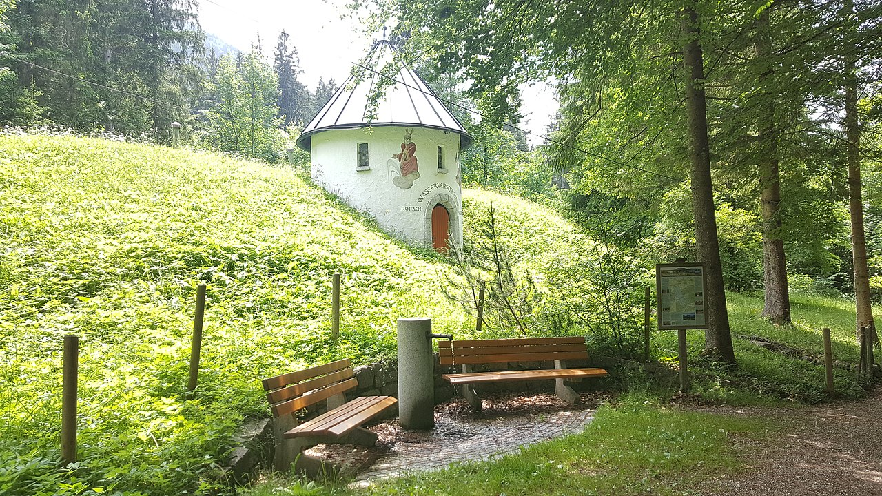
Deutsch: Sitzbank, Brunnen, Gebäude zur Wasserversorgung (neben der Talstation der Wallbergbahn) |
| Date | Taken on 31 May 2018 |
| Source | Self-photographed |
| Author | User:Mattes |
| Camera location | | View this and other nearby images on: OpenStreetMap |
|---|
_Mattes_2018-05-31.jpg¶ms=047.675439_N_0011.775650_E_globe:Earth_type:camera_scale:6250_&language=en)
Licensing[edit]
_Mattes_2018-05-31.jpg&action=edit§ion=2)
This file is licensed under the Creative Commons Attribution 2.0 Germany license.
- You are free:
- to share – to copy, distribute and transmit the work
- to remix – to adapt the work
- Under the following conditions:
- attribution – You must give appropriate credit, provide a link to the license, and indicate if changes were made. You may do so in any reasonable manner, but not in any way that suggests the licensor endorses you or your use.

|
The photographical reproduction of this work is covered under the article § 59 of the German copyright law, which states that "It shall be permissible to reproduce, by painting, drawing, photography or cinematography, works which are permanently located on public ways, streets or places and to distribute and publicly communicate such copies. For works of architecture, this provision shall be applicable only to the external appearance."
As with all other “limits of copyright by legally permitted uses”, no changes to the actual work are permitted under § 62 of the German copyright law (UrhG). See Commons:Copyright rules by territory/Germany#Freedom of panorama for more information.
|
This photograph was taken with a Samsung Galaxy S6
[[Category:Fountains in Landkreis Miesbach]|Rottach-Egern]]
File history
Click on a date/time to view the file as it appeared at that time.
| Date/Time | Thumbnail | Dimensions | User | Comment | |
|---|---|---|---|---|---|
| current | 08:54, 8 January 2022 | | 3,264 × 1,836 (3.56 MB) | Mateus2019 (talk | contribs) | == {{int:filedesc}} == {{Information |Description={{Loc desc}} {{DEU}} > Bayern > Oberbayern > Landkreis Miesbach > Rottach-Egern > Rottach > Wallbergstraße 26 ggü. {{de|1=Sitzbank, Brunnen, Gebäude zur Wasserversorgung (neben der Talstation der Wallbergbahn)}} |Date={{Taken on |1=2018-05-31 |cat= |location=Germany |source= }} |Source={{Self-photographed}} |Author=User:Mattes |Permission= |other_versions= }} {{Location possible}} == {{int:license-header}} == {{cc-by-2.0-d... |
You cannot overwrite this file.
File usage on Commons
The following 2 pages use this file:
_Mattes_2018-05-31.jpg&oldid=815569204)