File:France DOM map-de.png
Jump to navigation
Jump to search

Size of this preview: 800 × 415 pixels. Other resolutions: 320 × 166 pixels | 640 × 332 pixels | 1,024 × 531 pixels | 1,931 × 1,001 pixels.
Original file (1,931 × 1,001 pixels, file size: 237 KB, MIME type: image/png)
Captions
Captions
Add a one-line explanation of what this file represents
| Description |
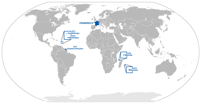
Deutsch: Karte der französischen Übersee-Départements |
||
| Date | |||
| Source | File:BlankMap-World6.svg | ||
| Author | Carport | ||
| Permission (Reusing this file) |
|
||
| Other versions |
|
File history
Click on a date/time to view the file as it appeared at that time.
| Date/Time | Thumbnail | Dimensions | User | Comment | |
|---|---|---|---|---|---|
| current | 10:05, 28 March 2018 | | 1,931 × 1,001 (237 KB) | Maphobbyist (talk | contribs) | South Sudan border |
| 18:27, 7 January 2014 |  | 1,931 × 1,001 (242 KB) | Chumwa (talk | contribs) | noch ein paar Bereinigungen | |
| 18:23, 7 January 2014 |  | 1,931 × 1,001 (243 KB) | Chumwa (talk | contribs) | Mayotte ergänzt | |
| 13:06, 24 January 2010 |  | 2,088 × 1,059 (297 KB) | Carport (talk | contribs) | {{Information |Description={{de|Karte der französischen {{w|Übersee-Département|3=de}}s}} |Source=File:BlankMap-World6.svg |Date=24 January 2010 |Author=Carport |Permission={{pd-self}} |other_versions=* [[:File:France DOM map-fr.p |
You cannot overwrite this file.
File usage on Commons
The following page uses this file:
File usage on other wikis
The following other wikis use this file:
- Usage on de.wikipedia.org
- Usage on hu.wikipedia.org