File:Four Early Medieval Pottery Vessel Sherds (FindID 150777).jpg
Jump to navigation
Jump to search
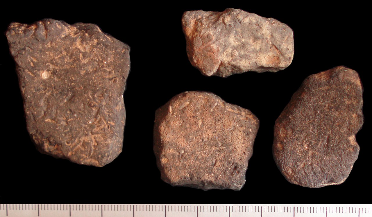
Size of this preview: 800 × 468 pixels. Other resolutions: 320 × 187 pixels | 640 × 374 pixels | 1,024 × 598 pixels | 1,280 × 748 pixels | 2,676 × 1,564 pixels.
Original file (2,676 × 1,564 pixels, file size: 531 KB, MIME type: image/jpeg)
Captions
Captions
Add a one-line explanation of what this file represents
Summary[edit]
.jpg&action=edit§ion=1)
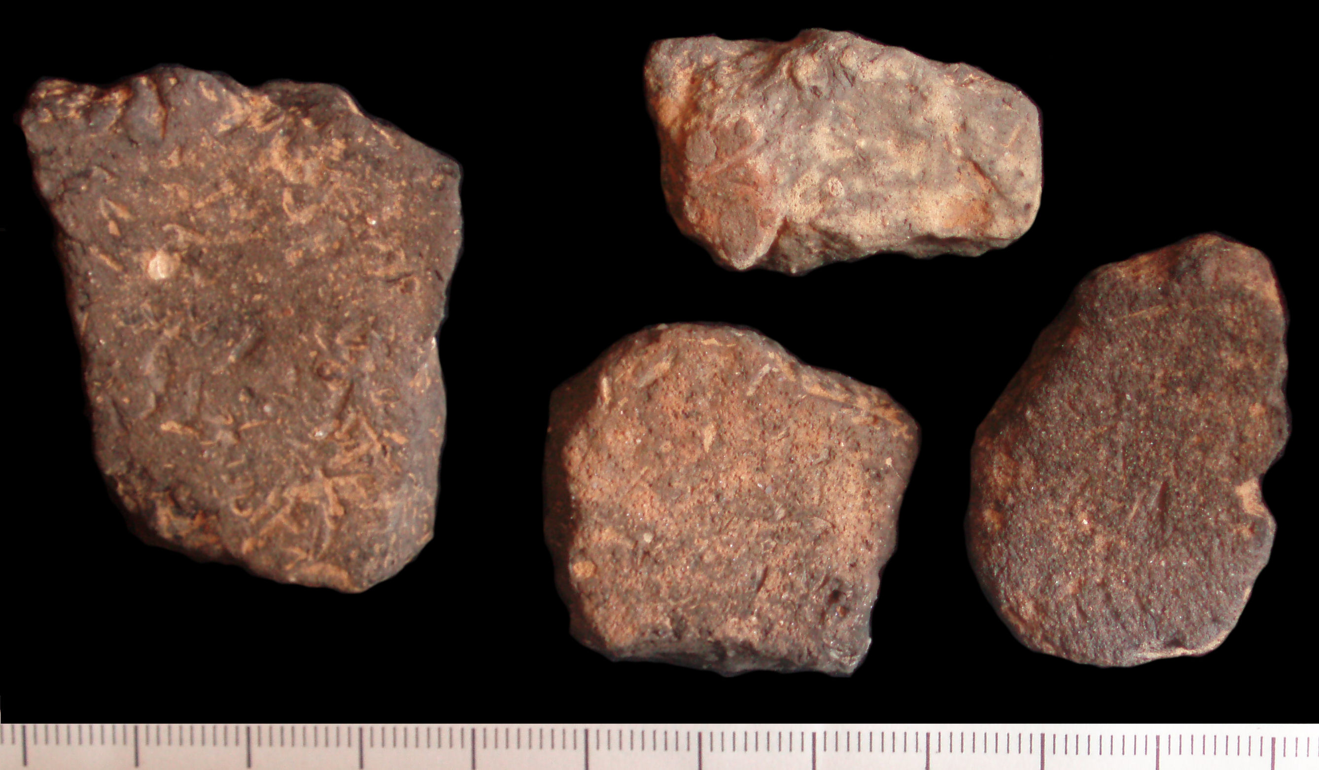
| Four Early Medieval Pottery Vessel Sherds | |||
|---|---|---|---|
| Photographer |
Winchester Museum Service, Laura McLean, 2006-11-24 09:06:48 |
||
| Title |
Four Early Medieval Pottery Vessel Sherds |
||
| Description |
English: 4 sherds of hand made Anglo-Saxon reduced dark grey-black pottery, from different vessels. All sherds have old and worn breaks.
1) Moderate quartz (sand) inclusions and an abundance of organic material. 46.87mm by 37.55mm, 9.15mm thick. Weight 18.90 grams. 2)Moderate quartz (sand) inclusions and an abundance of organic material. 33.03mm by 21.57mm, 10.71mm thick. Weight 7.28 grams. 3)Abundant medium to large quartz (sand) inclusions and moderate organic material. 37.59mm by 26.36mm, 14.83mm thick. Weight 14.19 grams. 4)Abundant small to medium quartz (sand) inclusions with sparse flint and clay pellets and moderate organic material. 28.82mm by 31.81mm, 9.82mm thick. Weight 10.91 grams. |
||
| Depicted place | (County of findspot) Hampshire | ||
| Date | between 450 and 900 | ||
| Accession number |
FindID: 150777 Old ref: HAMP-1633B1 Filename: pottery 3.jpg |
||
| Credit line |
|
||
| Source |
https://finds.org.uk/database/ajax/download/id/121942 Catalog: https://finds.org.uk/database/images/image/id/121942/recordtype/artefacts archive copy at the Wayback Machine Artefact: https://finds.org.uk/database/artefacts/record/id/150777 |
||
| Permission (Reusing this file) |
Attribution-ShareAlike License version 4.0 (verified 17 November 2020) | ||
| Object location | | View this and other nearby images on: OpenStreetMap |
|---|
.jpg¶ms=051.096900_N_-001.328600_E_globe:Earth_class:object_type:object__&language=en)
Licensing[edit]
.jpg&action=edit§ion=2)
This file is licensed under the Creative Commons Attribution-Share Alike 4.0 International license.
Attribution: The Portable Antiquities Scheme/ The Trustees of the British Museum
- You are free:
- to share – to copy, distribute and transmit the work
- to remix – to adapt the work
- Under the following conditions:
- attribution – You must give appropriate credit, provide a link to the license, and indicate if changes were made. You may do so in any reasonable manner, but not in any way that suggests the licensor endorses you or your use.
- share alike – If you remix, transform, or build upon the material, you must distribute your contributions under the same or compatible license as the original.
File history
Click on a date/time to view the file as it appeared at that time.
| Date/Time | Thumbnail | Dimensions | User | Comment | |
|---|---|---|---|---|---|
| current | 20:50, 6 February 2017 | | 2,676 × 1,564 (531 KB) | Fæ (talk | contribs) | Portable Antiquities Scheme, ESS, FindID: 150777, early medieval, page 6498, batch sort-updated count 77248 |
You cannot overwrite this file.
File usage on Commons
The following page uses this file:
.jpg)
.jpg&oldid=809498179)