File:Fort Industry Square.jpg
Jump to navigation
Jump to search
Size of this preview: 800 × 450 pixels. Other resolutions: 320 × 180 pixels | 640 × 360 pixels | 1,024 × 576 pixels | 1,280 × 720 pixels | 2,816 × 1,584 pixels.
Original file (2,816 × 1,584 pixels, file size: 989 KB, MIME type: image/jpeg)
Captions
Captions
Add a one-line explanation of what this file represents
|
This is an image of a place or building that is listed on the National Register of Historic Places in the United States of America. Its reference number is 73001501. |
| Camera location | | View this and other nearby images on: OpenStreetMap |
|---|
| Description |
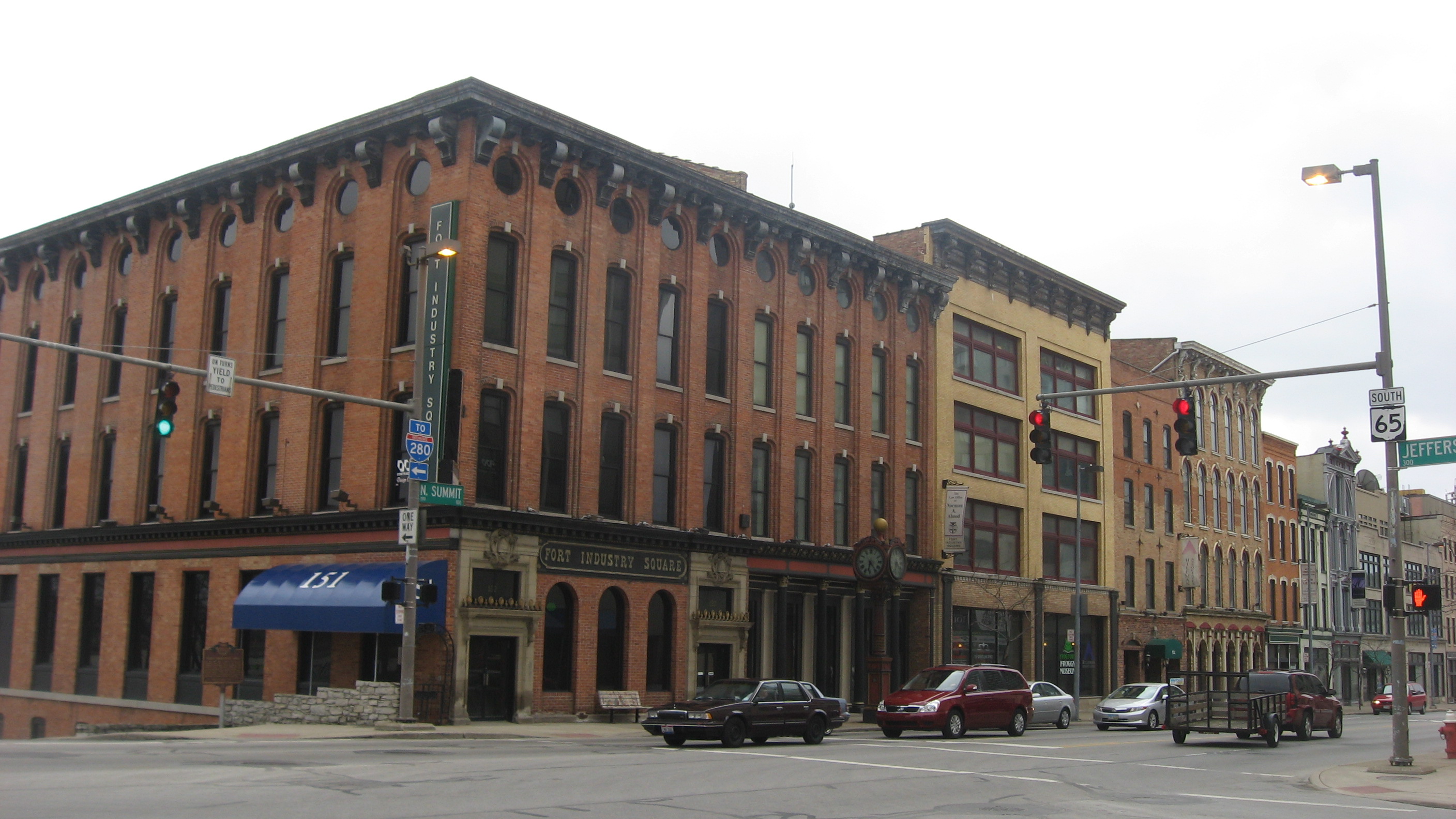
English: Buildings in the Fort Industry Square complex, located on the eastern side of Summit Street (State Route 65) south of the Jefferson Avenue intersection in Toledo, Ohio, United States. The complex has been designated a historic district and is listed on the National Register of Historic Places. |
||
| Date | Taken on 12 March 2013 | ||
| Source | Own work | ||
| Author | Nyttend | ||
| Permission (Reusing this file) |
|
File history
Click on a date/time to view the file as it appeared at that time.
| Date/Time | Thumbnail | Dimensions | User | Comment | |
|---|---|---|---|---|---|
| current | 19:18, 28 March 2013 | | 2,816 × 1,584 (989 KB) | Nyttend (talk | contribs) | {{NRHP|73001501}} {{Location|41|38|57|N|83|32|6|W}} {{Information |Description={{en|Buildings in the {{w|Fort Industry Square}} complex, located on the eastern side of Summit Street ({{w|Ohio State Route 65|State Route 65}}) south of the Jefferson Aven... |
You cannot overwrite this file.
File usage on Commons
There are no pages that use this file.
File usage on other wikis
The following other wikis use this file:
- Usage on en.wikipedia.org