File:Forest Hill NSW.jpg
Jump to navigation
Jump to search
Size of this preview: 800 × 462 pixels. Other resolutions: 320 × 185 pixels | 640 × 369 pixels | 1,000 × 577 pixels.
Original file (1,000 × 577 pixels, file size: 315 KB, MIME type: image/jpeg)
Captions
Captions
Add a one-line explanation of what this file represents
Summary[edit]
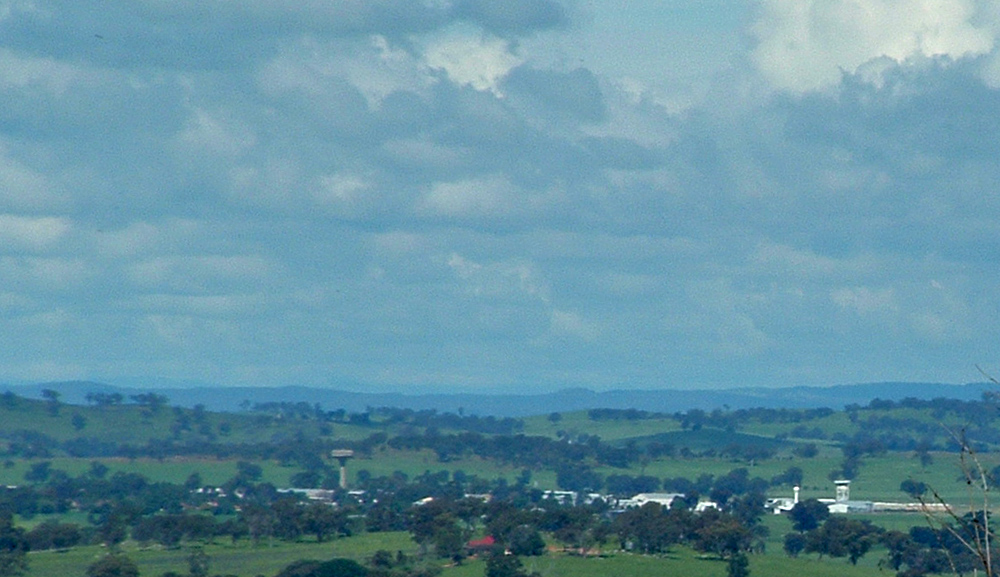
| Description | View of Forest Hill from Willans Hill in Wagga Wagga. Visible: RAAF Base Water Tower (on the left handside), Wagga Wagga Radar, and Bureau of Meteorology Wagga (right handside) Airport Control Tower |
| Date | |
| Source | Own work |
| Author | Bidgee |
| Permission (Reusing this file) |
I, the copyright holder of this work, hereby publish it under the following license: This file is licensed under the Creative Commons Attribution 3.0 Unported license.
|
| Camera location | | View this and other nearby images on: OpenStreetMap |
|---|
File history
Click on a date/time to view the file as it appeared at that time.
| Date/Time | Thumbnail | Dimensions | User | Comment | |
|---|---|---|---|---|---|
| current | 06:30, 18 April 2008 | | 1,000 × 577 (315 KB) | Bidgee (talk | contribs) | {{Information |Description=View of Forest Hill from Willans Hill in Wagga Wagga. Visible: Forest Hill Water Tower (on the left handside), Wagga Wagga Radar, and Bureau of Meteorology Wagga (right handside) Airport Control Tower |Source=self-made |Date=20t |
You cannot overwrite this file.
File usage on Commons
There are no pages that use this file.