File:Fore River Bridge (before 1965).jpg
Jump to navigation
Jump to search

Size of this preview: 698 × 599 pixels. Other resolutions: 280 × 240 pixels | 559 × 480 pixels | 729 × 626 pixels.
Original file (729 × 626 pixels, file size: 180 KB, MIME type: image/jpeg)
Captions
Captions
Add a one-line explanation of what this file represents
Summary[edit]
| Description |
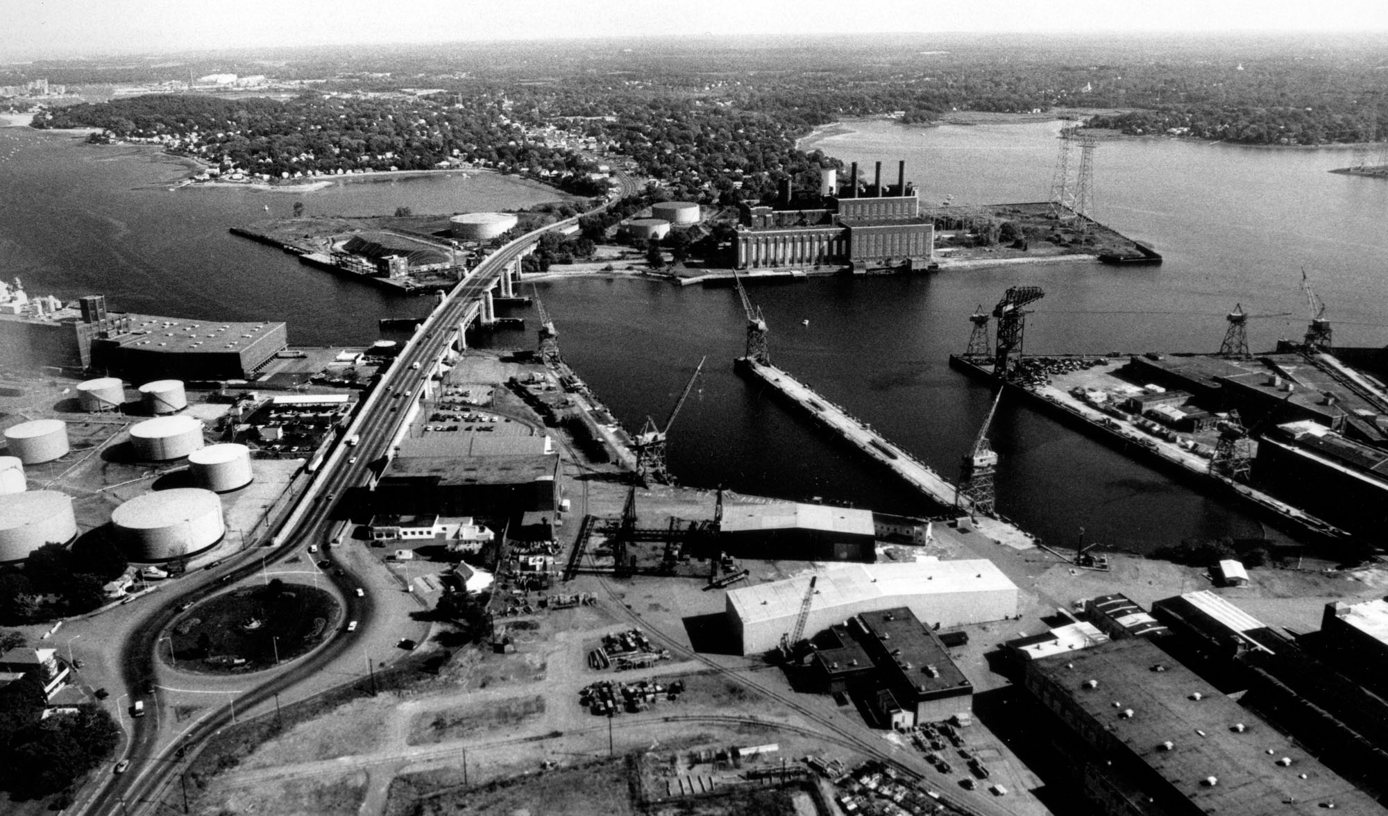
English: Aerial view of Weymouth Fore River. Weymouth Fore River (before 1965): Weymouth Fore River stretches for five miles from the mouth of the Monatiquot River in Braintree to Hingham Bay, about nine miles south of Boston. Most of the river's upper end, from Smelt Brook at the Route 53 Bridge to a point about 0.5 mile upstream of the Fore River Bridge (Route 3A), lies along the Braintree-Weymouth line. The middle and outer sections of the inlet lie along the Quincy-Weymouth line, MA. |
| Date | |
| Source | http://www.nae.usace.army.mil/portals/74/siteimages/CivilWorks/MA/100708-A-BJ146-213A.jpg |
| Author | Unknown author |
| Other versions |

.jpg&action=edit§ion=1)
Licensing[edit]
.jpg&action=edit§ion=2)
This file is a work of a U.S. Army soldier or employee, taken or made as part of that person's official duties. As a work of the U.S. federal government, it is in the public domain in the United States.
|
 |
File history
Click on a date/time to view the file as it appeared at that time.
| Date/Time | Thumbnail | Dimensions | User | Comment | |
|---|---|---|---|---|---|
| current | 19:53, 5 September 2018 | | 729 × 626 (180 KB) | Mliu92 (talk | contribs) | File:Fore River Shipyard, from the west.jpg cropped 64 % horizontally, 47 % vertically using CropTool with precise mode. |
You cannot overwrite this file.
File usage on Commons
The following 2 pages use this file:
File usage on other wikis
The following other wikis use this file:
- Usage on en.wikipedia.org
.jpg&oldid=508790446)