File:Flood elevation river gages and Natchez–Vidalia Bridge.jpg
Jump to navigation
Jump to search
Size of this preview: 800 × 536 pixels. Other resolutions: 320 × 214 pixels | 640 × 428 pixels | 1,024 × 686 pixels | 1,280 × 857 pixels | 2,048 × 1,371 pixels.
Original file (2,048 × 1,371 pixels, file size: 507 KB, MIME type: image/jpeg)
Captions
Captions
Add a one-line explanation of what this file represents
Summary[edit]
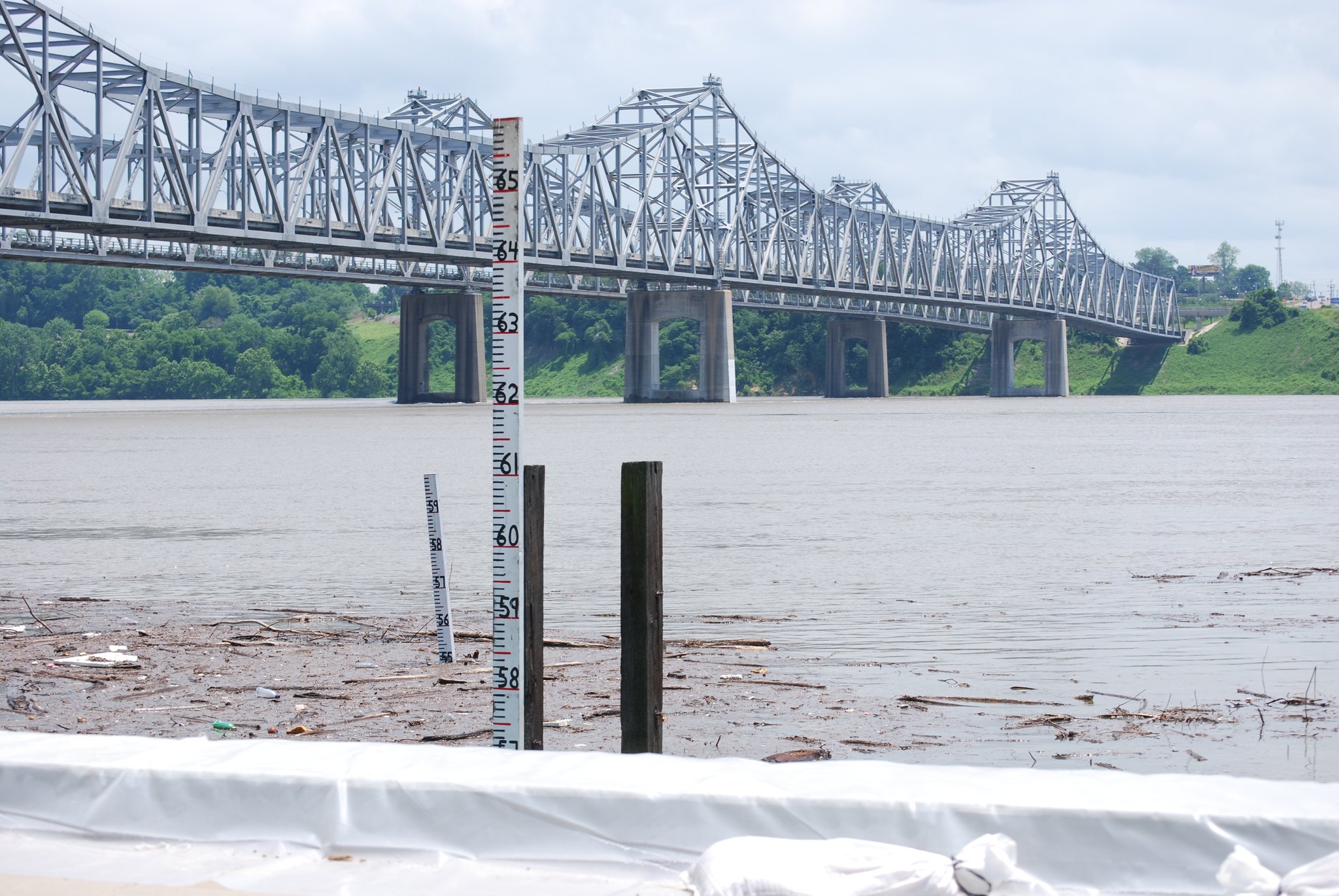
| Description | Flood elevation river gages in the Mississippi River, south of the Vidalia Convention Center, on the Vidalia, Louisiana, May 9, 2011. (Photo by Lisa Coghlan) |
| Date | |
| Source |
Flood elevation river gages in the Mississippi River
|
| Author | US Army Corps of Engineers from USA |
Licensing[edit]
This file is licensed under the Creative Commons Attribution 2.0 Generic license.
- You are free:
- to share – to copy, distribute and transmit the work
- to remix – to adapt the work
- Under the following conditions:
- attribution – You must give appropriate credit, provide a link to the license, and indicate if changes were made. You may do so in any reasonable manner, but not in any way that suggests the licensor endorses you or your use.
| This image, originally posted to Flickr, was reviewed on May 12, 2011 by the administrator or reviewer File Upload Bot (Magnus Manske), who confirmed that it was available on Flickr under the stated license on that date. |
File history
Click on a date/time to view the file as it appeared at that time.
| Date/Time | Thumbnail | Dimensions | User | Comment | |
|---|---|---|---|---|---|
| current | 14:44, 12 May 2011 | | 2,048 × 1,371 (507 KB) | File Upload Bot (Magnus Manske) (talk | contribs) | {{Information |Description=Flood elevation river gages in the Mississippi River, south of the Vidalia Convention Center, on the Vidalia, Louisiana, May 9, 2011. (Photo by Lisa Coghlan) |Source=[http://www.flickr.com/photos/usacehq/5703836626/ Flood ele |
You cannot overwrite this file.
File usage on Commons
There are no pages that use this file.
File usage on other wikis
The following other wikis use this file:
- Usage on fr.wikipedia.org