File:Flag of Gilgit-Baltistan.png
Jump to navigation
Jump to search

Size of this preview: 800 × 556 pixels. Other resolutions: 320 × 223 pixels | 640 × 445 pixels | 903 × 628 pixels.
Original file (903 × 628 pixels, file size: 96 KB, MIME type: image/png)
Captions
Captions
Flag of Gilgit-Baltistan
Summary[edit]
| Description |
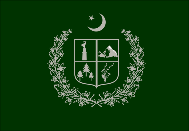
English: This is the Provincial or Territorial flag of Gilgit Baltistan semi-province of Pakistan. |
| Date | |
| Source | Own work |
| Author | عثمان خان شاہ |
Licensing[edit]
I, the copyright holder of this work, hereby publish it under the following license:
This file is licensed under the Creative Commons Attribution-Share Alike 4.0 International license.
- You are free:
- to share – to copy, distribute and transmit the work
- to remix – to adapt the work
- Under the following conditions:
- attribution – You must give appropriate credit, provide a link to the license, and indicate if changes were made. You may do so in any reasonable manner, but not in any way that suggests the licensor endorses you or your use.
- share alike – If you remix, transform, or build upon the material, you must distribute your contributions under the same or compatible license as the original.
File history
Click on a date/time to view the file as it appeared at that time.
| Date/Time | Thumbnail | Dimensions | User | Comment | |
|---|---|---|---|---|---|
| current | 20:47, 4 January 2015 | | 903 × 628 (96 KB) | UsmanKhan (talk | contribs) | User created page with UploadWizard |
You cannot overwrite this file.
File usage on Commons
The following 2 pages use this file:
File usage on other wikis
The following other wikis use this file:
- Usage on af.wikipedia.org
- Usage on ar.wikipedia.org
- Usage on arz.wikipedia.org
- Usage on ca.wikipedia.org
- Usage on cs.wikipedia.org
- Usage on en.wikipedia.org
- List of country calling codes
- Pakistan
- Demographics of Pakistan
- List of sovereign states
- List of sovereign states and dependent territories by continent
- Federated state
- Karakoram
- State emblem of Pakistan
- Administrative units of Pakistan
- Gilgit
- Gojal
- Passu
- Badakhshan Province
- Ghizer District (1974–2019)
- Northern Pakistan
- List of Pakistani flags
- List of leaders of dependent territories
- List of national flowers
- Kachura Lake
- Ghanche District
- Skardu District
- Gilgit District
- Diamer District
- Astore District
- Geography of Gilgit-Baltistan
- Rupal Valley
- Chief Minister of Khyber Pakhtunkhwa
- Gahkuch
- Tarishing
- Gilgit-Baltistan
- Ministry of National Health Services, Regulation and Coordination
- List of administrative units of Pakistan by Human Development Index
- Oshikhandass
- Xinjiang
- Attabad
- Muhajir (Pakistan)
- Chief Minister of Balochistan
- List of Pakistani administrative units by gross state product
- Hamza Shahbaz
- History of Gilgit-Baltistan
- Jutial
- Maryam Nawaz
- User:Shivansh.ganjoo/sandbox
- Chapursan
View more global usage of this file.