File:Flag cartouche on a Bosporus map by Rolffsen.jpg
Jump to navigation
Jump to search

Size of this preview: 800 × 588 pixels. Other resolutions: 320 × 235 pixels | 640 × 470 pixels | 1,024 × 752 pixels | 1,297 × 953 pixels.
Original file (1,297 × 953 pixels, file size: 351 KB, MIME type: image/jpeg)
Captions
Captions
Add a one-line explanation of what this file represents
Summary[edit]
| Description |
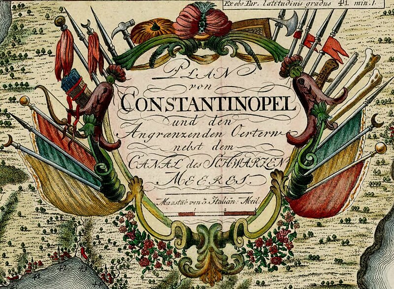
English: 18th century map the Bosphorus (top picture); and a map/view of Constantinople (below) |
| Date | 18th century |
| Source | http://purl.stanford.edu/zk128jn9353 |
| Author |
Rolffsen Hamburg, [ca. 1750] |
| Other versions |

Licensing[edit]
|
This work is in the public domain in its country of origin and other countries and areas where the copyright term is the author's life plus 70 years or fewer. This work is in the public domain in the United States because it was published (or registered with the U.S. Copyright Office) before January 1, 1929. | |
| This file has been identified as being free of known restrictions under copyright law, including all related and neighboring rights. | |
File history
Click on a date/time to view the file as it appeared at that time.
| Date/Time | Thumbnail | Dimensions | User | Comment | |
|---|---|---|---|---|---|
| current | 14:13, 23 November 2022 | | 1,297 × 953 (351 KB) | Enyavar (talk | contribs) | File:Plan von Constantinopel und den Angraenzenden Oertern nebst dem Canal des Schwarzen Meeres.jpg cropped 65 % horizontally, 71 % vertically using CropTool with precise mode. |
You cannot overwrite this file.
File usage on Commons
The following 2 pages use this file: