File:Firstside from Mount Washington.jpg
Jump to navigation
Jump to search

Size of this preview: 800 × 600 pixels. Other resolutions: 320 × 240 pixels | 640 × 480 pixels | 1,024 × 768 pixels | 1,280 × 960 pixels | 2,560 × 1,920 pixels | 2,816 × 2,112 pixels.
Original file (2,816 × 2,112 pixels, file size: 1.78 MB, MIME type: image/jpeg)
Captions
Captions
Add a one-line explanation of what this file represents
| Camera location | | View this and other nearby images on: OpenStreetMap |
|---|
| Description |
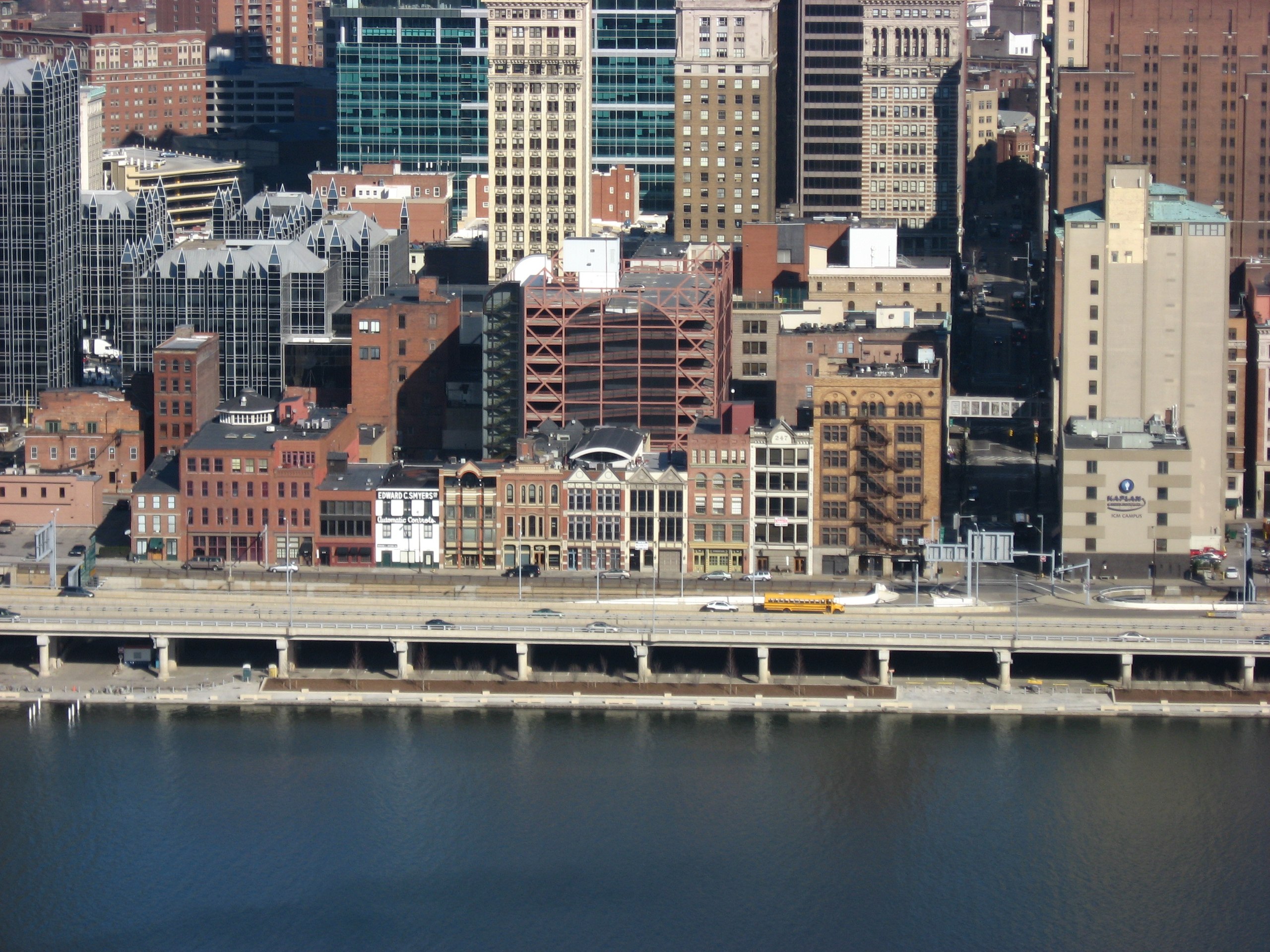
English: Buildings along the Monongahela River shoreline of downtown Pittsburgh, Pennsylvania, United States, centered on the 200 block of Fort Pitt Boulevard. This block composes the Firstside Historic District, which is listed on the National Register of Historic Places. Photo is taken from Mount Washington through the windows of the upper station of the Monongahela Incline. |
||
| Date | Taken on 28 November 2009 | ||
| Source | Own work | ||
| Author | Nyttend | ||
| Permission (Reusing this file) |
|
||
| Other versions |
Derivative works of this file: None |
| Annotations | This image is annotated: View the annotations at Commons |
File history
Click on a date/time to view the file as it appeared at that time.
| Date/Time | Thumbnail | Dimensions | User | Comment | |
|---|---|---|---|---|---|
| current | 01:04, 11 February 2010 | | 2,816 × 2,112 (1.78 MB) | Nyttend (talk | contribs) | {{Location|40|25|52.8|N|80|0|21.6|W}} {{Information |Description={{en|Buildings along the {{w|Monongahela River}} shoreline of downtown {{w|Pittsburgh}}, {{w|Pennsylvania}}, {{w|United States}}, centered on the 200 block of Fort Pitt Boulevard. This bloc |
You cannot overwrite this file.
File usage on Commons
The following 2 pages use this file: