File:Finland Administrative map 1942 1944.png
Jump to navigation
Jump to search

Size of this preview: 525 × 599 pixels. Other resolutions: 210 × 240 pixels | 421 × 480 pixels | 673 × 768 pixels | 897 × 1,024 pixels | 1,510 × 1,723 pixels.
Original file (1,510 × 1,723 pixels, file size: 1.24 MB, MIME type: image/png)
Captions
Captions
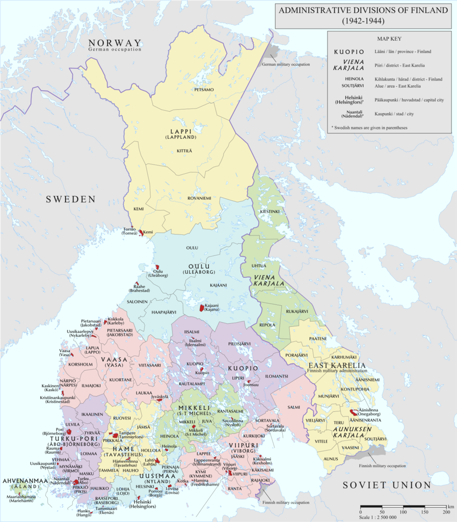
Administrative divisions of Finland in 1942-1944
Summary[edit]
| Description |
English: Administrative divisions of Finland in 1942-1944 |
| Date | |
| Source |
|
| Author | Andrein |
Licensing[edit]
I, the copyright holder of this work, hereby publish it under the following license:
This file is licensed under the Creative Commons Attribution-Share Alike 4.0 International license.
- You are free:
- to share – to copy, distribute and transmit the work
- to remix – to adapt the work
- Under the following conditions:
- attribution – You must give appropriate credit, provide a link to the license, and indicate if changes were made. You may do so in any reasonable manner, but not in any way that suggests the licensor endorses you or your use.
- share alike – If you remix, transform, or build upon the material, you must distribute your contributions under the same or compatible license as the original.
File history
Click on a date/time to view the file as it appeared at that time.
| Date/Time | Thumbnail | Dimensions | User | Comment | |
|---|---|---|---|---|---|
| current | 23:24, 22 July 2015 | | 1,510 × 1,723 (1.24 MB) | ArdadN (talk | contribs) | 1 |
| 23:22, 22 July 2015 |  | 1,510 × 1,723 (1.24 MB) | ArdadN (talk | contribs) | 1 | |
| 23:07, 22 July 2015 |  | 1,510 × 1,723 (1.23 MB) | ArdadN (talk | contribs) | 1 | |
| 11:18, 10 June 2015 |  | 1,510 × 1,723 (1.22 MB) | ArdadN (talk | contribs) | U | |
| 10:56, 10 June 2015 |  | 1,510 × 1,723 (1.22 MB) | ArdadN (talk | contribs) | some labels and parts of the legend changed | |
| 00:49, 25 March 2015 |  | 1,504 × 1,716 (1.21 MB) | ArdadN (talk | contribs) | 1 | |
| 21:31, 24 March 2015 |  | 1,504 × 1,716 (1.21 MB) | ArdadN (talk | contribs) | 1 | |
| 21:25, 24 March 2015 |  | 1,504 × 1,716 (1.18 MB) | ArdadN (talk | contribs) | 1 | |
| 21:19, 24 March 2015 |  | 1,504 × 1,716 (1.21 MB) | ArdadN (talk | contribs) | 1 | |
| 21:05, 24 March 2015 |  | 1,504 × 1,716 (1.21 MB) | ArdadN (talk | contribs) | legend3 |
You cannot overwrite this file.
File usage on Commons
The following 9 pages use this file:
- Atlas of Finland
- User:MKFI/Military of Finland/2015 February 19-28
- User:MKFI/Military of Finland/2015 July 21-31
- User:MKFI/Military of Finland/2015 June 1-10
- User:MKFI/Military of Finland/2015 March 21-31
- User:Magog the Ogre/Maps of conflicts/2015 February
- User:Magog the Ogre/Maps of conflicts/2015 July
- User:Magog the Ogre/Maps of conflicts/2015 June
- User:Magog the Ogre/Maps of conflicts/2015 March
File usage on other wikis
The following other wikis use this file:
- Usage on azb.wikipedia.org
- Usage on en.wikipedia.org
- Usage on fi.wikipedia.org
- Usage on fr.wikipedia.org
- Usage on it.wikipedia.org
- Usage on lv.wikipedia.org
- Usage on uk.wikipedia.org