File:Finland 1918 terrain.png
Jump to navigation
Jump to search
Size of this preview: 503 × 599 pixels. Other resolutions: 201 × 240 pixels | 403 × 480 pixels | 703 × 837 pixels.
Original file (703 × 837 pixels, file size: 215 KB, MIME type: image/png)
Captions
Captions
Add a one-line explanation of what this file represents
Summary[edit]
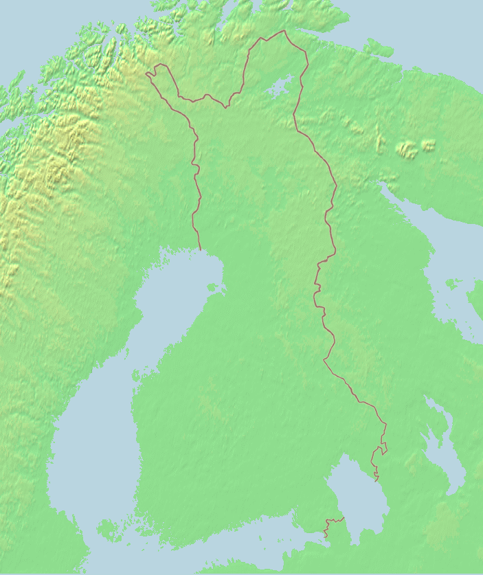
| Description | Blank Map of Finland with 1918 borders. |
| Date | Jniemenmaa 15:07, 25 November 2006 (UTC) |
| Source | own work + raw map from http://www.demis.nl/wms/mapclip.htm |
| Author | Jniemenmaa 15:07, 25 November 2006 (UTC) |
| Other versions | Also see Image:Finland_1918_plain.png for a slightly different map. |
This image is in the public domain because it came from the site https://www.demis.nl/products/web-map-server/examples/ and was released by the copyright holder. Permission is granted to copy, distribute and/or modify this map since it is based on free of copyright images from: www.demis.nl. See also approval email on de.wp and its clarification.
|
| This work has been released into the public domain by its copyright holder, www.demis.nl. This applies worldwide. In some countries this may not be legally possible; if so: www.demis.nl grants anyone the right to use this work for any purpose, without any conditions, unless such conditions are required by law.
|
Licensing[edit]
I, the copyright holder of this work, hereby publish it under the following license:

|
Permission is granted to copy, distribute and/or modify this document under the terms of the GNU Free Documentation License, Version 1.2 or any later version published by the Free Software Foundation; with no Invariant Sections, no Front-Cover Texts, and no Back-Cover Texts. A copy of the license is included in the section entitled GNU Free Documentation License. |
| This file is licensed under the Creative Commons Attribution-Share Alike 3.0 Unported license. | ||
| ||
| This licensing tag was added to this file as part of the GFDL licensing update. |
File history
Click on a date/time to view the file as it appeared at that time.
| Date/Time | Thumbnail | Dimensions | User | Comment | |
|---|---|---|---|---|---|
| current | 15:07, 25 November 2006 | | 703 × 837 (215 KB) | Jniemenmaa (talk | contribs) | {{Information |Description=Blank Map of Finland with 1918 borders. |Source=own work + raw map from http://www.demis.nl/wms/mapclip.htm |Date=~~~~ |Author=~~~~ |Permission=- |other_versions=Also see Image:Finland_1918_plain.png for a slightly differe |
You cannot overwrite this file.
File usage on Commons
There are no pages that use this file.