File:Fermilab satellite.gif
Jump to navigation
Jump to search

Size of this preview: 709 × 600 pixels. Other resolutions: 284 × 240 pixels | 568 × 480 pixels | 759 × 642 pixels.
Original file (759 × 642 pixels, file size: 481 KB, MIME type: image/gif)
Captions
Captions
Add a one-line explanation of what this file represents
Summary[edit]
| Description |
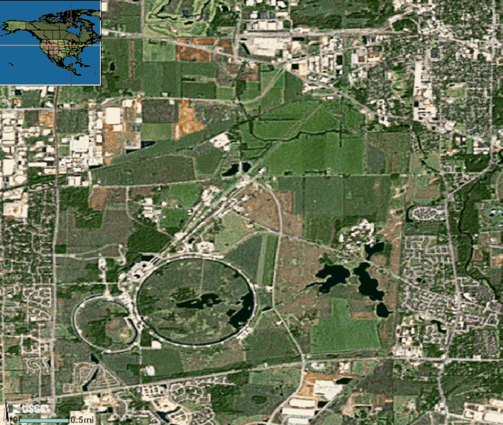
English: Satellite image of Fermi National Accelerator Laboratory, Batavia near Chicago, Illinois |
| Source | U.S. Geological Survey |
| Author | U.S. Geological Survey |
| Camera location | | View this and other nearby images on: OpenStreetMap |
|---|
Licensing[edit]
This image is in the public domain in the United States because it only contains materials that originally came from the United States Geological Survey, an agency of the United States Department of the Interior. For more information, see the official USGS copyright policy.
|
File history
Click on a date/time to view the file as it appeared at that time.
| Date/Time | Thumbnail | Dimensions | User | Comment | |
|---|---|---|---|---|---|
| current | 00:28, 9 June 2007 | | 759 × 642 (481 KB) | Ybbor (talk | contribs) | From the [http://nmviewogc.cr.usgs.gov/Run.htm?BBOX=-88.28977,41.80764,-88.19234,41.88995&CLASSIDSON=40|39|4|22|64&LAYERSON=18067|12460|18113&LAYERSOFF=8924|4952|12458|6089 national viewer]. No modifications made. |
You cannot overwrite this file.
File usage on Commons
The following page uses this file:
File usage on other wikis
The following other wikis use this file:
- Usage on bn.wikipedia.org
- Usage on en.wikipedia.org
- Usage on eo.wikipedia.org
- Usage on fa.wikipedia.org
- Usage on he.wikipedia.org
- Usage on id.wikipedia.org
- Usage on it.wikipedia.org
- Usage on pt.wikipedia.org
- Usage on ru.wikipedia.org
- Usage on simple.wikipedia.org
- Usage on tr.wikipedia.org
- Usage on vi.wikipedia.org
- Usage on xmf.wikipedia.org
- Usage on zh.wikipedia.org