File:Farmland and hedge, east of Collingbourne Kingston - geograph.org.uk - 1596024.jpg
Jump to navigation
Jump to search
No higher resolution available.
Farmland_and_hedge,_east_of_Collingbourne_Kingston_-_geograph.org.uk_-_1596024.jpg (640 × 480 pixels, file size: 223 KB, MIME type: image/jpeg)
Captions
Captions
Add a one-line explanation of what this file represents
Summary[edit]
| Description |
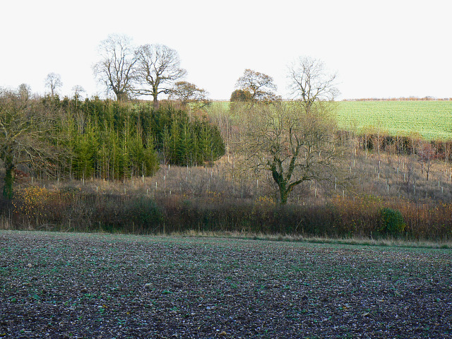
English: Farmland and hedge, east of Collingbourne Kingston The field in the foreground and the hedge on its margin are in this square as is the nearest part of the plantation beyond it. The green trees in that plantation appear to be conifers. I hope they are sitka spruce, one of my favourite trees. They were introduced to the UK from the north-west coast of North America in 1831 by David Douglas, a far-sighted individual who should have been knighted at least for this action alone. In so doing he provided a source of revenue which has been the salvation of places like Scotland. You can read about this aristocrat of the arboreal world here http://www.forestry.gov.uk/forestry/INFD-5NLEJ6 |
| Date | |
| Source | From geograph.org.uk |
| Author | Brian Robert Marshall |
| Attribution (required by the license) | Brian Robert Marshall / Farmland and hedge, east of Collingbourne Kingston / |
| Camera location | | View this and other nearby images on: OpenStreetMap |
|---|
_heading:90.00&language=en)
| Object location | | View this and other nearby images on: OpenStreetMap |
|---|
_heading:90.00&language=en)
Licensing[edit]

|
This image was taken from the Geograph project collection. See this photograph's page on the Geograph website for the photographer's contact details. The copyright on this image is owned by Brian Robert Marshall and is licensed for reuse under the Creative Commons Attribution-ShareAlike 2.0 license.
|
This file is licensed under the Creative Commons Attribution-Share Alike 2.0 Generic license.
Attribution: Brian Robert Marshall
- You are free:
- to share – to copy, distribute and transmit the work
- to remix – to adapt the work
- Under the following conditions:
- attribution – You must give appropriate credit, provide a link to the license, and indicate if changes were made. You may do so in any reasonable manner, but not in any way that suggests the licensor endorses you or your use.
- share alike – If you remix, transform, or build upon the material, you must distribute your contributions under the same or compatible license as the original.
File history
Click on a date/time to view the file as it appeared at that time.
| Date/Time | Thumbnail | Dimensions | User | Comment | |
|---|---|---|---|---|---|
| current | 03:00, 4 March 2011 | | 640 × 480 (223 KB) | GeographBot (talk | contribs) | == {{int:filedesc}} == {{Information |description={{en|1=Farmland and hedge, east of Collingbourne Kingston The field in the foreground and the hedge on its margin are in this square as is the nearest part of the plantation beyond it. The green trees in t |
You cannot overwrite this file.
File usage on Commons
There are no pages that use this file.