File:F Street - G Street Alley 4024 02.JPG
Jump to navigation
Jump to search

Size of this preview: 800 × 600 pixels. Other resolutions: 320 × 240 pixels | 640 × 480 pixels | 1,024 × 768 pixels | 1,280 × 960 pixels | 2,048 × 1,536 pixels.
Original file (2,048 × 1,536 pixels, file size: 824 KB, MIME type: image/jpeg)
Captions
Captions
Add a one-line explanation of what this file represents
Summary[edit]
| Description |
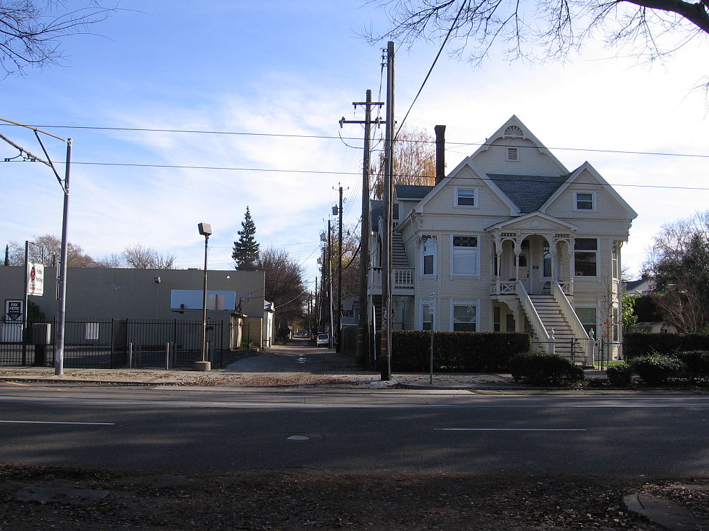
English: A distinct feature of the Cartesian coordinate street plan of Sacramento, California are the alley ways that run parallel to and between the lettered east-west major streets. This is a view looking east at the F Street - G Street Alley that runs between F Street (to the north or left) and G Street (to the south or left (neither F nor G Streets is visible in this photo)). The combination of alleys and older well preserved homes gives Sacramento a nostalgic and genteel feel. The overhead lines of the Sacramento RTD light rail Blue Line are just visible running over 12th Street. |
| Date | |
| Source | Own work |
| Author | Pedro Xing |
| Camera location | | View this and other nearby images on: OpenStreetMap |
|---|
Licensing[edit]
I, the copyright holder of this work, hereby publish it under the following license:
| This file is made available under the Creative Commons CC0 1.0 Universal Public Domain Dedication. | |
| The person who associated a work with this deed has dedicated the work to the public domain by waiving all of their rights to the work worldwide under copyright law, including all related and neighboring rights, to the extent allowed by law. You can copy, modify, distribute and perform the work, even for commercial purposes, all without asking permission.
|
File history
Click on a date/time to view the file as it appeared at that time.
| Date/Time | Thumbnail | Dimensions | User | Comment | |
|---|---|---|---|---|---|
| current | 05:23, 15 December 2012 | | 2,048 × 1,536 (824 KB) | Pedro Xing (talk | contribs) | User created page with UploadWizard |
You cannot overwrite this file.
File usage on Commons
There are no pages that use this file.