File:F 3 Le Rhin 2. IIa TB WP.jpg
Jump to navigation
Jump to search

Size of this preview: 379 × 599 pixels. Other resolutions: 152 × 240 pixels | 304 × 480 pixels | 486 × 768 pixels | 648 × 1,024 pixels | 2,470 × 3,901 pixels.
Original file (2,470 × 3,901 pixels, file size: 1.37 MB, MIME type: image/jpeg)
Captions
Captions
Add a one-line explanation of what this file represents
Summary[edit]
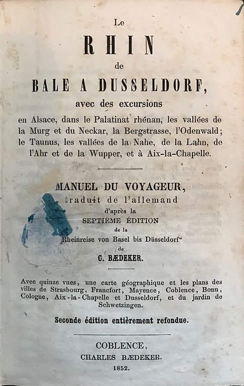
| Description | title page of 1852 Baedeker travel guide of the Rhine (french language, Le Rhin), F 3 |
| Date | |
| Source | Book cover by Karl Baedeker (1801-1859), Scan: Own work |
| Author | Heied |
| Camera location | | View this and other nearby images on: OpenStreetMap |
|---|
The depicted text is ineligible for copyright and therefore in the public domain because it is not a “literary work” or other protected type in sense of the local copyright law. Facts, data, and unoriginal information which is common property without sufficiently creative authorship in a general typeface or basic handwriting, and simple geometric shapes are not protected by copyright.
This tag does not generally apply to all images of texts. Particular countries can have different legal definition of the “literary work” as the subject of copyright and different courts' interpretation practices. Some countries protect almost every written work, while other countries protect distinctively artistic or scientific texts and databases only. Extent of creativeness, function and length of the text can be relevant. The copyright protection can be limited to the literary form – the included information itself can be excluded from protection.
|
Licensing[edit]
I, the copyright holder of this work, hereby publish it under the following licenses:

|
Permission is granted to copy, distribute and/or modify this document under the terms of the GNU Free Documentation License, Version 1.2 or any later version published by the Free Software Foundation; with no Invariant Sections, no Front-Cover Texts, and no Back-Cover Texts. A copy of the license is included in the section entitled GNU Free Documentation License. |
This file is licensed under the Creative Commons Attribution 4.0 International license.
- You are free:
- to share – to copy, distribute and transmit the work
- to remix – to adapt the work
- Under the following conditions:
- attribution – You must give appropriate credit, provide a link to the license, and indicate if changes were made. You may do so in any reasonable manner, but not in any way that suggests the licensor endorses you or your use.
You may select the license of your choice.
File history
Click on a date/time to view the file as it appeared at that time.
| Date/Time | Thumbnail | Dimensions | User | Comment | |
|---|---|---|---|---|---|
| current | 18:00, 22 October 2017 | | 2,470 × 3,901 (1.37 MB) | Heied (talk | contribs) | {{Information |Description= title page of 1852 Baedeker travel guide of the Rhine (french language, Le Rhin), F 3 |Source=Book cover by Karl Baedeker (1801-1859), Scan: Own work |Permission= |Date=2017-10-22 |Author=Heied |other_version... |
You cannot overwrite this file.
File usage on Commons
The following page uses this file:
File usage on other wikis
The following other wikis use this file:
- Usage on de.wikipedia.org