File:Europe 526-600.jpg
Jump to navigation
Jump to search

Size of this preview: 381 × 599 pixels. Other resolutions: 152 × 240 pixels | 305 × 480 pixels | 907 × 1,427 pixels.
Original file (907 × 1,427 pixels, file size: 410 KB, MIME type: image/jpeg)
Captions
Captions
Add a one-line explanation of what this file represents
Summary[edit]
| Description |
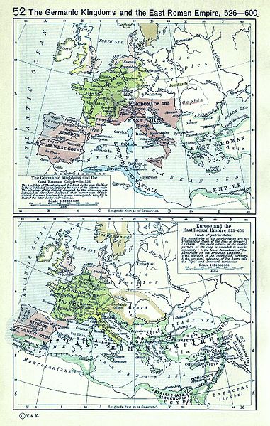
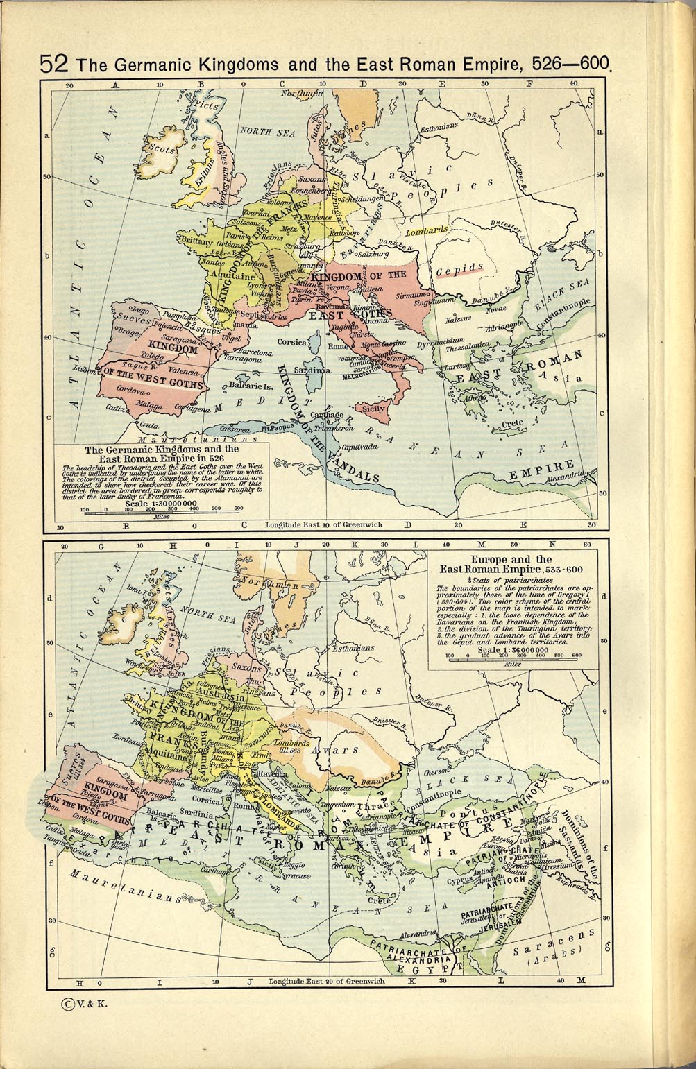
English: A map political map of Europe, situation as of c. 526-600 |
||||||||||||||||||||||
| Date | |||||||||||||||||||||||
| Source | Shepherd, William R. (1923) Historical Atlas, Category:New York: Henry Holt and Company | ||||||||||||||||||||||
| Author |
|
||||||||||||||||||||||
| Other versions |
|
||||||||||||||||||||||
.jpg)

Licensing[edit]
|
The author died in 1934, so this work is in the public domain in its country of origin and other countries and areas where the copyright term is the author's life plus 80 years or fewer. This work is in the public domain in the United States because it was published (or registered with the U.S. Copyright Office) before January 1, 1929. | |
| This file has been identified as being free of known restrictions under copyright law, including all related and neighboring rights. | |
_en.png)
.png)
.jpg)
File history
Click on a date/time to view the file as it appeared at that time.
| Date/Time | Thumbnail | Dimensions | User | Comment | |
|---|---|---|---|---|---|
| current | 13:22, 13 March 2008 | | 907 × 1,427 (410 KB) | F l a n k e r (talk | contribs) | Cleaning (hope you likes) |
| 10:28, 8 May 2006 |  | 1,003 × 1,541 (391 KB) | Roke~commonswiki (talk | contribs) | Europe 526-600AD {{Europe}} {{PD-PCL|http://www.lib.utexas.edu/maps/historical/shepherd_1911/shepherd-c-052.jpg}} Category: Historical maps of Europe |
You cannot overwrite this file.
File usage on Commons
The following 5 pages use this file:
File usage on other wikis
The following other wikis use this file:
- Usage on ba.wikipedia.org
- Usage on bg.wikipedia.org
- Usage on en.wikipedia.org
- Usage on et.wikipedia.org
- Usage on fr.wikipedia.org
- Usage on it.wikipedia.org
- Usage on mwl.wikipedia.org
- Usage on pt.wikipedia.org
- Usage on ru.wikipedia.org
- Usage on scn.wikipedia.org
- Usage on vi.wikipedia.org
- Usage on zh.wikipedia.org