File:Europa politisch 1905.png

Original file (1,600 × 1,338 pixels, file size: 1.37 MB, MIME type: image/png)
Captions
Captions
Summary[edit]
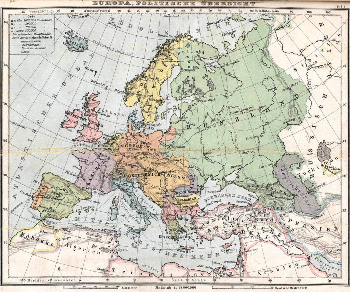
| Description | Historical map of Europe (1905) |
| Date | |
| Source | Bibliothek allgemeinen und praktischen Wissens für Militäranwärter Band I, 1905 / Deutsches Verlaghaus Bong & Co Berlin * Leipzig * Wien * Stuttgart |
| Author | Scan made by Kogo |
| Permission (Reusing this file) |
Public Domain, because copyright expired |
_en.png)
.png)
.jpg)
Licensing[edit]
|
This work is in the public domain in its country of origin and other countries and areas where the copyright term is the author's life plus 70 years or fewer.
| |
| This file has been identified as being free of known restrictions under copyright law, including all related and neighboring rights. | |
File history
Click on a date/time to view the file as it appeared at that time.
| Date/Time | Thumbnail | Dimensions | User | Comment | |
|---|---|---|---|---|---|
| current | 10:02, 14 August 2006 | | 1,600 × 1,338 (1.37 MB) | Kogo (talk | contribs) | {{Information |Description=Historical map of Europe (1905) |Source=Bibliothek allgemeinen und praktischen Wissens für Militäranwärter Band I, 1905 / Deutsches Verlaghaus Bong & Co Berlin * Leipzig * Wien * Stuttgart |Author=Scan made by [[User:kogo|K |
You cannot overwrite this file.
File usage on Commons
The following page uses this file:
File usage on other wikis
The following other wikis use this file:
- Usage on en.wikipedia.org
- Usage on ms.wikipedia.org