File:Erhard, Environs de Paris, 1883 - David Rumsey.jpg
Jump to navigation
Jump to search

Size of this preview: 730 × 599 pixels. Other resolutions: 292 × 240 pixels | 585 × 480 pixels | 935 × 768 pixels | 1,247 × 1,024 pixels | 2,494 × 2,048 pixels | 14,542 × 11,940 pixels.
Original file (14,542 × 11,940 pixels, file size: 62.53 MB, MIME type: image/jpeg)
Captions
Captions
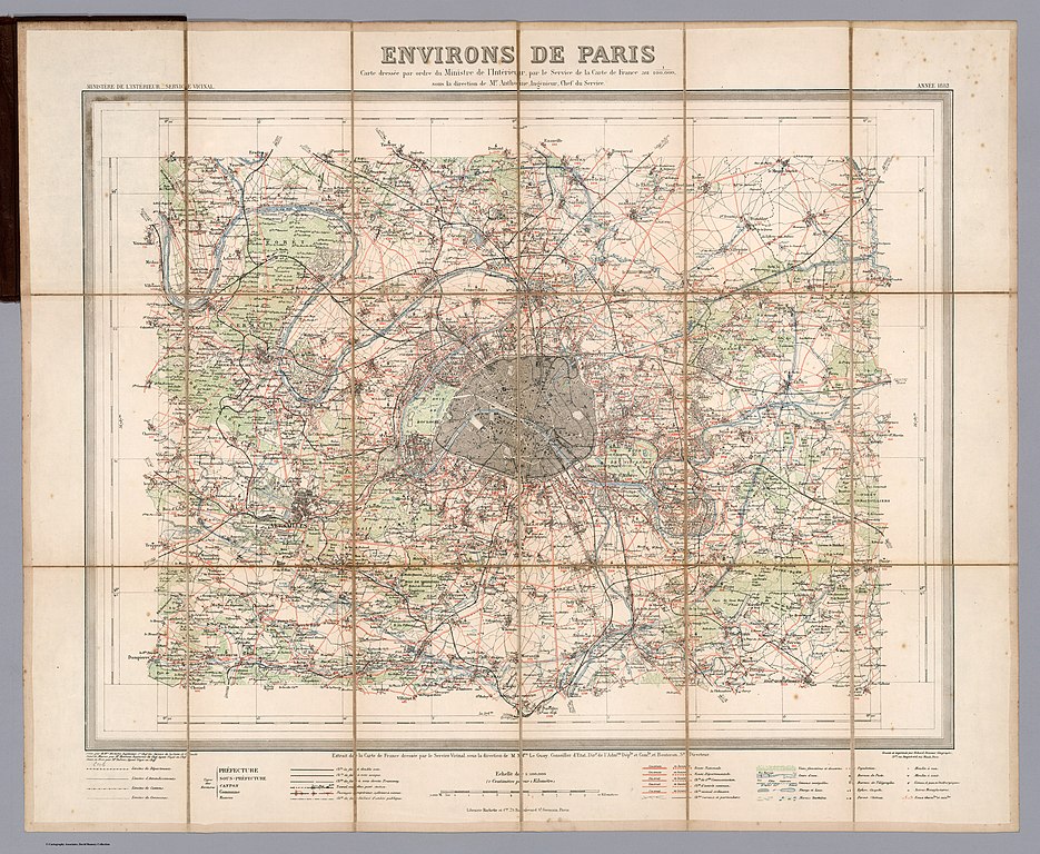
a map of Paris.
Summary[edit]
| Warning | The original file is very high-resolution. It might not load properly or could cause your browser to freeze when opened at full size. |
|---|
| Title |
Environs de Paris. Carte dressée par ordre du ministre de l'intérieur par le service de la carte de France au 1/100.000 ... |
| Description |
English: In printed color. Hachette also distributed these maps. They were part of the multi sheet survey of the country at the scale of 1:100,000 which was first published around 1880 and continued for several decades. |
| Source | David Rumsey Historical Map Collection |
| Creator |
Erhard & Service vicinal, Ministère de l'intérieur |
| Geotemporal data | |
| Map location | Paris |
| Georeferencing | If inappropriate please set warp_status = skip to hide. |
| Archival data | |
| Dimensions | 55 x 61 cm |
| Medium | Pocket Map |
Licensing[edit]
|
This work is in the public domain in its country of origin and other countries and areas where the copyright term is the author's life plus 100 years or fewer. | |
| This file has been identified as being free of known restrictions under copyright law, including all related and neighboring rights. | |
File history
Click on a date/time to view the file as it appeared at that time.
| Date/Time | Thumbnail | Dimensions | User | Comment | |
|---|---|---|---|---|---|
| current | 19:07, 28 December 2019 | | 14,542 × 11,940 (62.53 MB) | Paris 16 (talk | contribs) | User created page with UploadWizard |
You cannot overwrite this file.
File usage on Commons
The following page uses this file: