File:Equatorial Guinea location map.svg
Jump to navigation
Jump to search

Size of this PNG preview of this SVG file: 628 × 600 pixels. Other resolutions: 251 × 240 pixels | 503 × 480 pixels | 804 × 768 pixels | 1,072 × 1,024 pixels | 2,144 × 2,048 pixels | 1,091 × 1,042 pixels.
Original file (SVG file, nominally 1,091 × 1,042 pixels, file size: 155 KB)
Captions
Captions
Add a one-line explanation of what this file represents
Summary[edit]
| Description |
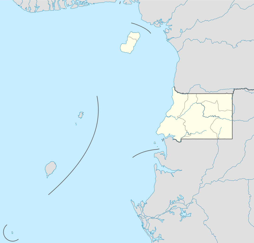
Deutsch: Positionskarte von Äquatorialguinea
Quadratische Plattkarte. Geographische Begrenzung der Karte:
English: Location map of Equatorial Guinea
Equirectangular projection. Geographic limits of the map:
|
| Date | |
| Source |
own work, using
|
| Author | NordNordWest |

|
This map has been made or improved in the German Kartenwerkstatt (Map Lab). You can propose maps to improve as well.
|
Licensing[edit]
I, the copyright holder of this work, hereby publish it under the following licenses:

|
Permission is granted to copy, distribute and/or modify this document under the terms of the GNU Free Documentation License, Version 1.2 or any later version published by the Free Software Foundation; with no Invariant Sections, no Front-Cover Texts, and no Back-Cover Texts. A copy of the license is included in the section entitled GNU Free Documentation License. |
This file is licensed under the Creative Commons Attribution-Share Alike 3.0 Unported license.
- You are free:
- to share – to copy, distribute and transmit the work
- to remix – to adapt the work
- Under the following conditions:
- attribution – You must give appropriate credit, provide a link to the license, and indicate if changes were made. You may do so in any reasonable manner, but not in any way that suggests the licensor endorses you or your use.
- share alike – If you remix, transform, or build upon the material, you must distribute your contributions under the same or compatible license as the original.
You may select the license of your choice.
File history
Click on a date/time to view the file as it appeared at that time.
| Date/Time | Thumbnail | Dimensions | User | Comment | |
|---|---|---|---|---|---|
| current | 09:34, 7 November 2011 | | 1,091 × 1,042 (155 KB) | NordNordWest (talk | contribs) | upd |
| 15:27, 23 October 2011 |  | 1,091 × 1,042 (154 KB) | NordNordWest (talk | contribs) | another mistake fixed | |
| 15:19, 23 October 2011 |  | 1,091 × 1,042 (154 KB) | NordNordWest (talk | contribs) | corrected | |
| 10:51, 23 October 2011 |  | 1,093 × 1,042 (236 KB) | Waldyrious (talk | contribs) | If the colors are wrong, just fix them. Don't revert all the other handcrafted cleanup and structural improvements in the process. | |
| 16:35, 22 October 2011 |  | 1,093 × 1,042 (250 KB) | NordNordWest (talk | contribs) | wrong colours | |
| 15:37, 22 October 2011 |  | 1,093 × 1,042 (236 KB) | Waldyrious (talk | contribs) | cleanup & structure | |
| 16:46, 14 November 2008 |  | 1,093 × 1,042 (250 KB) | NordNordWest (talk | contribs) | corrected | |
| 16:44, 14 November 2008 |  | 1,116 × 1,042 (250 KB) | NordNordWest (talk | contribs) | {{Information |Description= {{de|Positionskarte von Äquatorialguinea}} Quadratische Plattkarte. Geographische Begrenzung der Karte: * N: 4.6° N * S: 1.7° S * W: 5.3° O * O: 11.9° O {{en|Location map of [[:en:Equatorial Guine |
You cannot overwrite this file.
File usage on Commons
The following 11 pages use this file:
- User:NordNordWest/Gallery/Location maps
- File:Annobón in Equatorial Guinea.svg
- File:Annobón in Equatorial Guinea (+special marker).svg
- File:Bioko Norte in Equatorial Guinea.svg
- File:Bioko Sur in Equatorial Guinea.svg
- File:Centro Sur in Equatorial Guinea.svg
- File:Evinayong.JPG
- File:GUINEA ECUATORIAL.png
- File:Kié-Ntem in Equatorial Guinea.svg
- File:Litoral in Equatorial Guinea.svg
- File:Wele-Nzas in Equatorial Guinea.svg
.svg)
File usage on other wikis
The following other wikis use this file:
- Usage on af.wikipedia.org
- Usage on am.wikipedia.org
- Usage on ar.wikipedia.org
- Usage on be-tarask.wikipedia.org
- Usage on bg.wikipedia.org
- Usage on bn.wikipedia.org
- Usage on bs.wikipedia.org
- Usage on ckb.wikipedia.org
- Usage on el.wikipedia.org
- Usage on es.wikipedia.org
- Usage on eu.wikipedia.org
- Usage on fa.wikipedia.org
- Usage on fr.wikipedia.org
- Usage on he.wikivoyage.org
- Usage on kaa.wikipedia.org
- Usage on kbd.wikipedia.org
- Usage on kn.wikipedia.org
- Usage on ko.wikipedia.org
- Usage on ku.wikipedia.org
- Usage on mk.wikipedia.org
- Usage on ml.wikipedia.org
- Usage on mr.wikipedia.org
- Usage on ms.wikipedia.org
- Usage on pa.wikipedia.org
View more global usage of this file.