File:End of Kjøsnesfjorden - 2013.08 - panoramio.jpg
Jump to navigation
Jump to search

Size of this preview: 799 × 599 pixels. Other resolutions: 320 × 240 pixels | 640 × 480 pixels | 1,024 × 768 pixels | 1,280 × 960 pixels | 2,560 × 1,920 pixels | 3,014 × 2,261 pixels.
Original file (3,014 × 2,261 pixels, file size: 1.63 MB, MIME type: image/jpeg)
Captions
Captions
Add a one-line explanation of what this file represents
Summary[edit]
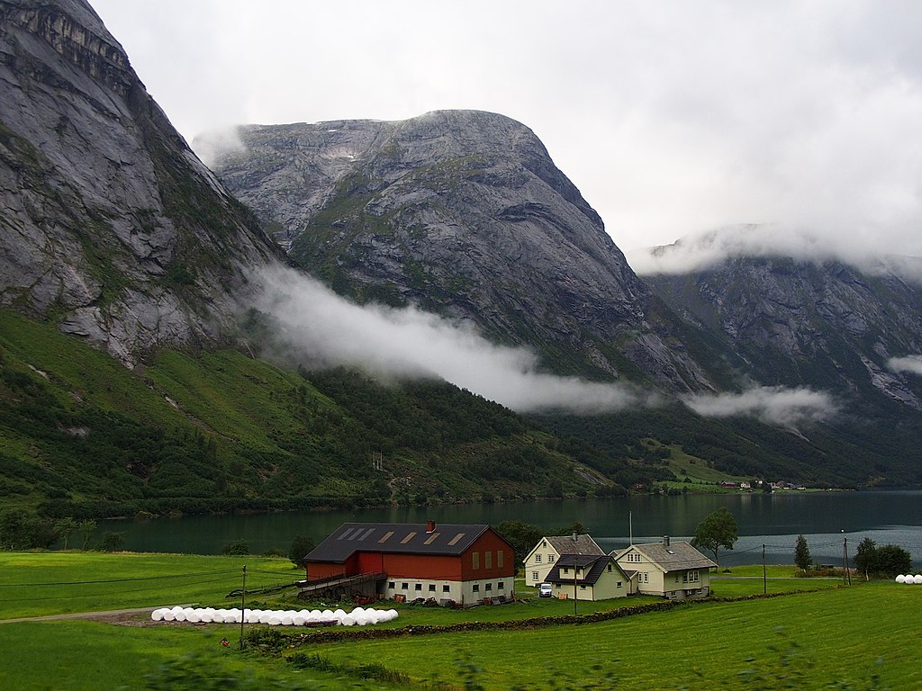
| Description | End of Kjøsnesfjorden - 2013.08 | ||
| Date | Taken on 21 August 2013 | ||
| Source | https://www.panoramio.com/photo/119942724 | ||
| Author | rheins | ||
| Permission (Reusing this file) |
This file is licensed under the Creative Commons Attribution 3.0 Unported license. Attribution: rheins
|
||
| Panoramio Tags | Jølster, 挪威 - Norway |
| Camera location | | View this and other nearby images on: OpenStreetMap |
|---|
File history
Click on a date/time to view the file as it appeared at that time.
| Date/Time | Thumbnail | Dimensions | User | Comment | |
|---|---|---|---|---|---|
| current | 18:58, 15 June 2017 | | 3,014 × 2,261 (1.63 MB) | Panoramio upload bot (talk | contribs) | == {{int:filedesc}} == {{Information |description=End of Kjøsnesfjorden - 2013.08 |date={{Taken on|2013-08-21}} |source=http://www.panoramio.com/photo/119942724 |author=[http://www.panoramio.com/user/5226993?with_photo_id=119942724 rheins] |permission... |
You cannot overwrite this file.
File usage on Commons
There are no pages that use this file.