File:Eindhoven 5.48633E 51.44317N.jpg
Jump to navigation
Jump to search
Size of this preview: 800 × 599 pixels. Other resolutions: 320 × 240 pixels | 640 × 479 pixels | 1,024 × 766 pixels | 1,280 × 958 pixels.
Original file (1,280 × 958 pixels, file size: 158 KB, MIME type: image/jpeg)
Captions
Captions
Add a one-line explanation of what this file represents
Summary[edit]
| Description |
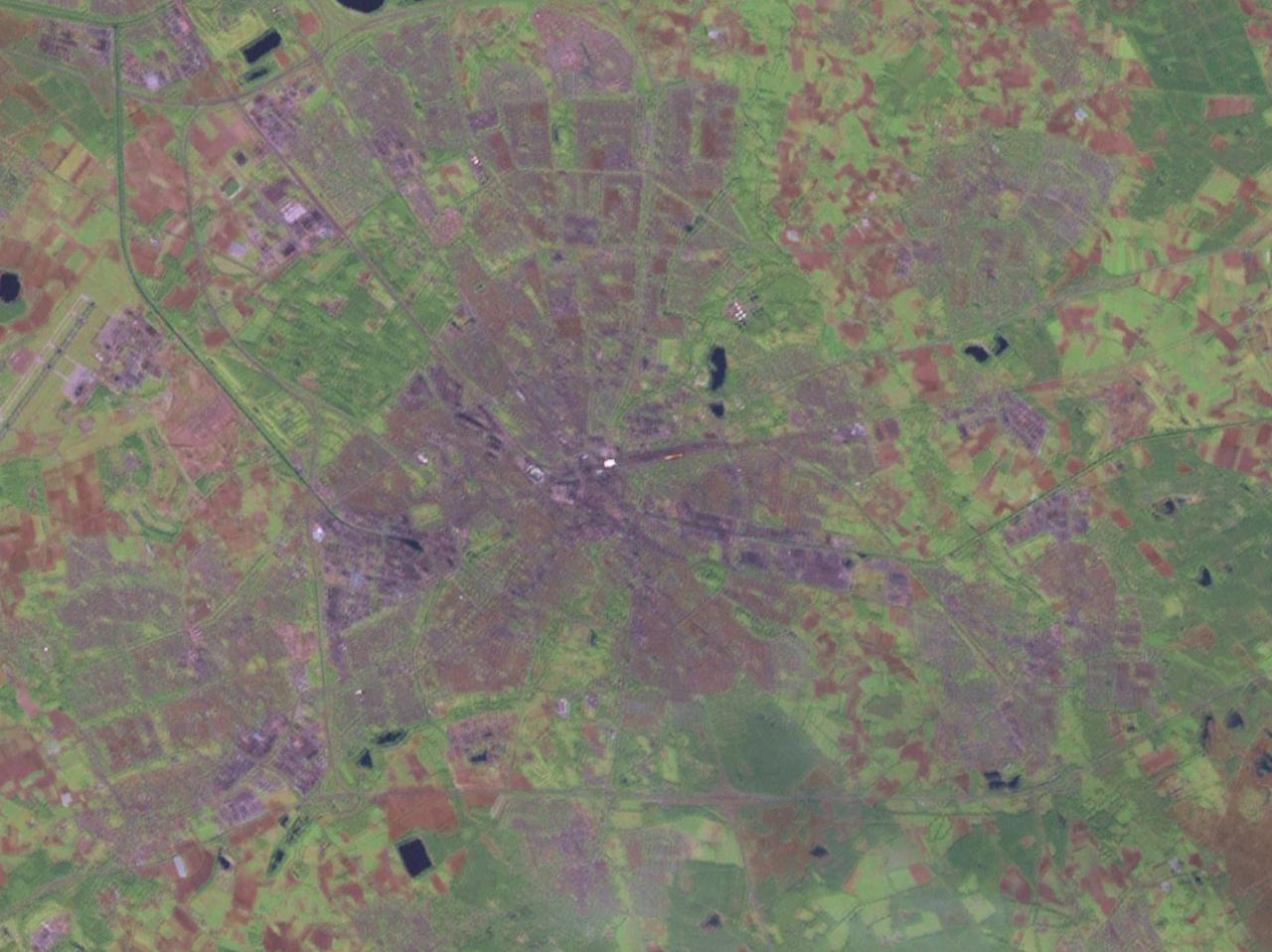
Nederlands: Satellietfoto Eindoven. |
| Date | 14 May 2005 (original upload date) |
| Source | Satellite imagery taken from NASA World Wind software (by screenshot) |
| Author | Photograph: NASA |
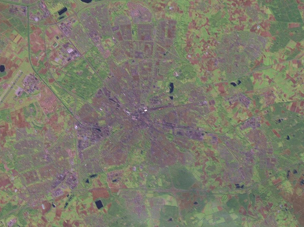
| Other versions | Derivative works of this file: Eindhoven-5.48E-51.44N.jpg |
Licensing[edit]
| This image is in the public domain because it is a screenshot from NASA’s globe software World Wind using a public domain layer, such as Blue Marble, MODIS, Landsat, SRTM, USGS or GLOBE.
|
 |
File history
Click on a date/time to view the file as it appeared at that time.
| Date/Time | Thumbnail | Dimensions | User | Comment | |
|---|---|---|---|---|---|
| current | 15:19, 14 May 2005 | | 1,280 × 958 (158 KB) | Rex (talk | contribs) | Screenshot from NASA World Wind. {{PD}} Category:Maps Category:The Netherlands |
You cannot overwrite this file.
File usage on Commons
The following page uses this file: