File:Ehemaliger Nagelfluh-Steinbruch im Gleißental 02.jpg
Jump to navigation
Jump to search

Size of this preview: 800 × 342 pixels. Other resolutions: 320 × 137 pixels | 640 × 274 pixels | 1,024 × 438 pixels | 1,280 × 548 pixels | 2,560 × 1,095 pixels | 5,000 × 2,139 pixels.
Original file (5,000 × 2,139 pixels, file size: 6.84 MB, MIME type: image/jpeg)
Captions
Captions
Add a one-line explanation of what this file represents
Summary[edit]
| Description |
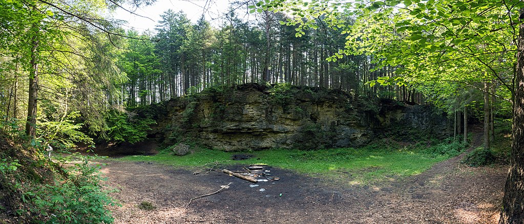
Deutsch: Teilweise bewachsener Nagelfluhsteinbruch im Gleißental, Geotop (siehe Liste der Geotope im Landkreis München), zwischenzeitlich auch als Klettergarten und Film-Location genutzt. Mit Überresten von hier nicht gestatteten Grillabenden. |
| Date | |
| Source | Own work |
| Author | Carl von Einem |
| Camera location | | View this and other nearby images on: OpenStreetMap |
|---|
Mit Hugin zusammengesetztes Teilpanorama
Licensing[edit]
I, the copyright holder of this work, hereby publish it under the following license:
This file is licensed under the Creative Commons Attribution-Share Alike 4.0 International license.
- You are free:
- to share – to copy, distribute and transmit the work
- to remix – to adapt the work
- Under the following conditions:
- attribution – You must give appropriate credit, provide a link to the license, and indicate if changes were made. You may do so in any reasonable manner, but not in any way that suggests the licensor endorses you or your use.
- share alike – If you remix, transform, or build upon the material, you must distribute your contributions under the same or compatible license as the original.
This image was uploaded as part of Wiki Loves Earth 2018.
|
 |
File history
Click on a date/time to view the file as it appeared at that time.
| Date/Time | Thumbnail | Dimensions | User | Comment | |
|---|---|---|---|---|---|
| current | 10:22, 22 May 2018 | | 5,000 × 2,139 (6.84 MB) | Einemnet (talk | contribs) | User created page with UploadWizard |
You cannot overwrite this file.
File usage on Commons
The following page uses this file: