File:Ecuador, administrative divisions - es - colored.svg
Jump to navigation
Jump to search

Size of this PNG preview of this SVG file: 556 × 599 pixels. Other resolutions: 223 × 240 pixels | 445 × 480 pixels | 713 × 768 pixels | 950 × 1,024 pixels | 1,901 × 2,048 pixels | 1,535 × 1,654 pixels.
Original file (SVG file, nominally 1,535 × 1,654 pixels, file size: 791 KB)
Captions
Captions
Add a one-line explanation of what this file represents
Summary[edit]
| Description |
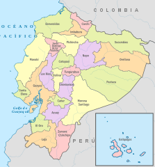
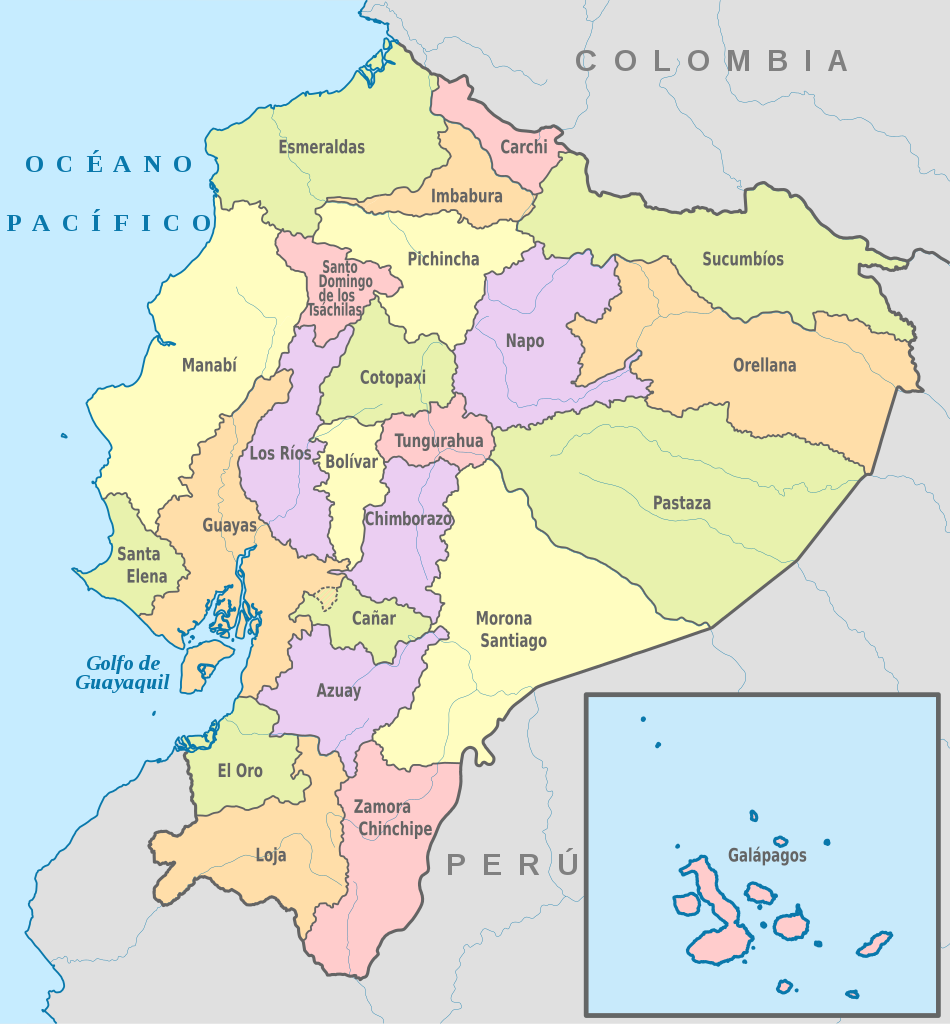
Español: Mapa de las provincias de Ecuador |
| Date | |
| Source | Wikimedia Commons |
| Author | TUBS |
Licensing[edit]
This file is licensed under the Creative Commons Attribution-Share Alike 2.5 Generic license.
- You are free:
- to share – to copy, distribute and transmit the work
- to remix – to adapt the work
- Under the following conditions:
- attribution – You must give appropriate credit, provide a link to the license, and indicate if changes were made. You may do so in any reasonable manner, but not in any way that suggests the licensor endorses you or your use.
- share alike – If you remix, transform, or build upon the material, you must distribute your contributions under the same or compatible license as the original.
File history
Click on a date/time to view the file as it appeared at that time.
| Date/Time | Thumbnail | Dimensions | User | Comment | |
|---|---|---|---|---|---|
| current | 21:20, 6 December 2017 | | 1,535 × 1,654 (791 KB) | David C. S. (talk | contribs) | Límites y ríos |
| 16:31, 22 March 2014 |  | 1,535 × 1,654 (765 KB) | David C. S. (talk | contribs) | User created page with UploadWizard |
You cannot overwrite this file.
File usage on Commons
The following 2 pages use this file:
File usage on other wikis
The following other wikis use this file:
- Usage on azb.wikipedia.org
- Usage on br.wikipedia.org
- Usage on ca.wikipedia.org
- Usage on cs.wikipedia.org
- Usage on de.wikipedia.org
- Usage on en.wikipedia.org
- Usage on en.wiktionary.org
- Usage on es.wikipedia.org
- Usage on fa.wikipedia.org
- Usage on fr.wikipedia.org
- Usage on hr.wikipedia.org
- Usage on hr.wiktionary.org
- Usage on hu.wikipedia.org
- Usage on id.wikipedia.org
- Usage on it.wikipedia.org
- Usage on la.wikipedia.org
- Usage on mdf.wikipedia.org
- Usage on ms.wikipedia.org
- Usage on mzn.wikipedia.org
- Usage on nds.wikipedia.org
- Usage on new.wikipedia.org
- Usage on nn.wikipedia.org
- Usage on no.wikipedia.org
- Usage on pl.wikipedia.org
- Usage on pt.wikipedia.org
- Usage on qu.wikipedia.org
- Usage on sh.wikipedia.org
- Usage on sk.wikipedia.org
- Usage on sl.wikipedia.org
- Usage on tr.wiktionary.org
- Usage on vi.wikipedia.org
- Usage on zh.wikipedia.org
- Usage on zh.wiktionary.org
Metadata
Categories:
- SVG labeled maps of administrative divisions of Ecuador (location map scheme)
- SVG labeled maps of administrative divisions of countries of South America (location map scheme) (spanish)
- SVG labeled maps of administrative divisions of countries of South America (location map scheme) (colored scheme)
- Territorial evolution of Ecuador