File:East Reach, Taunton - geograph.org.uk - 654956.jpg
Jump to navigation
Jump to search
No higher resolution available.
East_Reach,_Taunton_-_geograph.org.uk_-_654956.jpg (640 × 480 pixels, file size: 76 KB, MIME type: image/jpeg)
Captions
Captions
Add a one-line explanation of what this file represents
Summary[edit]
| Description |
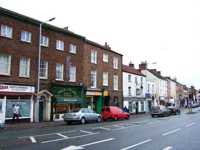
English: East Reach, Taunton. This road stretches eastward from the centre of Taunton across the town's transition zone, and, thanks to a lack of attention from developers, still preserves C18 and C19 buildings. This row, containing premises experiencing a range of economic fortune, is opposite the junction with South Street. In the centre is 654976. To its left are buildings described at http://webapp1.somerset.gov.uk/her/details.asp?prn=45959 . |
| Date | |
| Source | From geograph.org.uk |
| Author | Derek Harper |
| Attribution (required by the license) | Derek Harper / East Reach, Taunton / |
| Camera location | | View this and other nearby images on: OpenStreetMap |
|---|
_heading:45.00&language=en)
| Object location | | View this and other nearby images on: OpenStreetMap |
|---|
_heading:45.00&language=en)
Licensing[edit]

|
This image was taken from the Geograph project collection. See this photograph's page on the Geograph website for the photographer's contact details. The copyright on this image is owned by Derek Harper and is licensed for reuse under the Creative Commons Attribution-ShareAlike 2.0 license.
|
This file is licensed under the Creative Commons Attribution-Share Alike 2.0 Generic license.
Attribution: Derek Harper
- You are free:
- to share – to copy, distribute and transmit the work
- to remix – to adapt the work
- Under the following conditions:
- attribution – You must give appropriate credit, provide a link to the license, and indicate if changes were made. You may do so in any reasonable manner, but not in any way that suggests the licensor endorses you or your use.
- share alike – If you remix, transform, or build upon the material, you must distribute your contributions under the same or compatible license as the original.
File history
Click on a date/time to view the file as it appeared at that time.
| Date/Time | Thumbnail | Dimensions | User | Comment | |
|---|---|---|---|---|---|
| current | 14:40, 7 February 2011 | | 640 × 480 (76 KB) | GeographBot (talk | contribs) | == {{int:filedesc}} == {{Information |description={{en|1=East Reach, Taunton This road stretches eastward from the centre of Taunton across the town's transition zone, and, thanks to a lack of attention from developers, still preserves C18 and C19 buildin |
You cannot overwrite this file.
File usage on Commons
There are no pages that use this file.