File:East Budleigh - site of toll house - commemorative plaque - geograph.org.uk - 639027.jpg
Jump to navigation
Jump to search
No higher resolution available.
East_Budleigh_-_site_of_toll_house_-_commemorative_plaque_-_geograph.org.uk_-_639027.jpg (640 × 480 pixels, file size: 74 KB, MIME type: image/jpeg)
Captions
Captions
Add a one-line explanation of what this file represents
Summary[edit]
| Description |
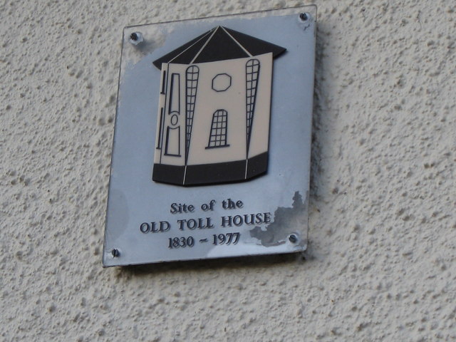
English: East Budleigh - site of toll house - commemorative plaque Old photos show the toll house as part of the village street scene. The toll house jutted out into the road so that passing carts, people and cattle could be easily stopped and charged for using the road. Now only this plaque gives the passer-by any idea of what the building looked like. |
| Date | |
| Source | From geograph.org.uk |
| Author | Colin Vosper |
| Attribution (required by the license) | Colin Vosper / East Budleigh - site of toll house - commemorative plaque / |
| Camera location | | View this and other nearby images on: OpenStreetMap |
|---|
_heading:225.00&language=en)
| Object location | | View this and other nearby images on: OpenStreetMap |
|---|
_heading:225.00&language=en)
Licensing[edit]

|
This image was taken from the Geograph project collection. See this photograph's page on the Geograph website for the photographer's contact details. The copyright on this image is owned by Colin Vosper and is licensed for reuse under the Creative Commons Attribution-ShareAlike 2.0 license.
|
This file is licensed under the Creative Commons Attribution-Share Alike 2.0 Generic license.
Attribution: Colin Vosper
- You are free:
- to share – to copy, distribute and transmit the work
- to remix – to adapt the work
- Under the following conditions:
- attribution – You must give appropriate credit, provide a link to the license, and indicate if changes were made. You may do so in any reasonable manner, but not in any way that suggests the licensor endorses you or your use.
- share alike – If you remix, transform, or build upon the material, you must distribute your contributions under the same or compatible license as the original.
File history
Click on a date/time to view the file as it appeared at that time.
| Date/Time | Thumbnail | Dimensions | User | Comment | |
|---|---|---|---|---|---|
| current | 09:04, 7 February 2011 | | 640 × 480 (74 KB) | GeographBot (talk | contribs) | == {{int:filedesc}} == {{Information |description={{en|1=East Budleigh - site of toll house - commemorative plaque Old photos show the toll house as part of the village street scene. The toll house jutted out into the road so that passing carts, people an |
You cannot overwrite this file.
File usage on Commons
There are no pages that use this file.