File:Earth upside-down.jpg
Jump to navigation
Jump to search

Size of this preview: 724 × 600 pixels. Other resolutions: 290 × 240 pixels | 579 × 480 pixels | 927 × 768 pixels | 1,236 × 1,024 pixels | 2,472 × 2,048 pixels | 2,696 × 2,234 pixels.
Original file (2,696 × 2,234 pixels, file size: 412 KB, MIME type: image/jpeg)
Captions
Captions
Add a one-line explanation of what this file represents
Summary[edit]
| Description |
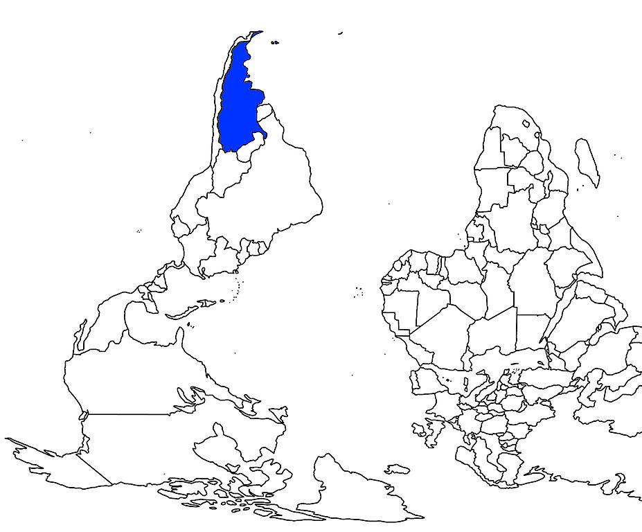
English: Line map of the Earth turned and mirrored, with the South Pole on top.
An unusual view from the Austral Hemisphere: most of Southern America, a significant part of Africa and all of Australasia. |
| Date | 31 July 2006 (original upload date) |
| Source | No machine-readable source provided. Own work assumed (based on copyright claims). |
| Author | No machine-readable author provided. Eamezaga assumed (based on copyright claims). |
Licensing[edit]
| I, the copyright holder of this work, release this work into the public domain. This applies worldwide. In some countries this may not be legally possible; if so: I grant anyone the right to use this work for any purpose, without any conditions, unless such conditions are required by law. |
File history
Click on a date/time to view the file as it appeared at that time.
| Date/Time | Thumbnail | Dimensions | User | Comment | |
|---|---|---|---|---|---|
| current | 17:48, 31 July 2006 | | 2,696 × 2,234 (412 KB) | Eamezaga (talk | contribs) | Linear map of part of the Earth turned upside-down (from the point of view of Latin-America. |
You cannot overwrite this file.
File usage on Commons
There are no pages that use this file.