File:Durangaldea (Mapa).png
Jump to navigation
Jump to search
Size of this preview: 450 × 600 pixels. Other resolutions: 180 × 240 pixels | 360 × 480 pixels | 576 × 768 pixels | 768 × 1,024 pixels | 1,536 × 2,048 pixels | 5,194 × 6,924 pixels.
Original file (5,194 × 6,924 pixels, file size: 14.78 MB, MIME type: image/png)
Captions
Captions
Add a one-line explanation of what this file represents
Summary[edit]
.png&action=edit§ion=1)
| Description |
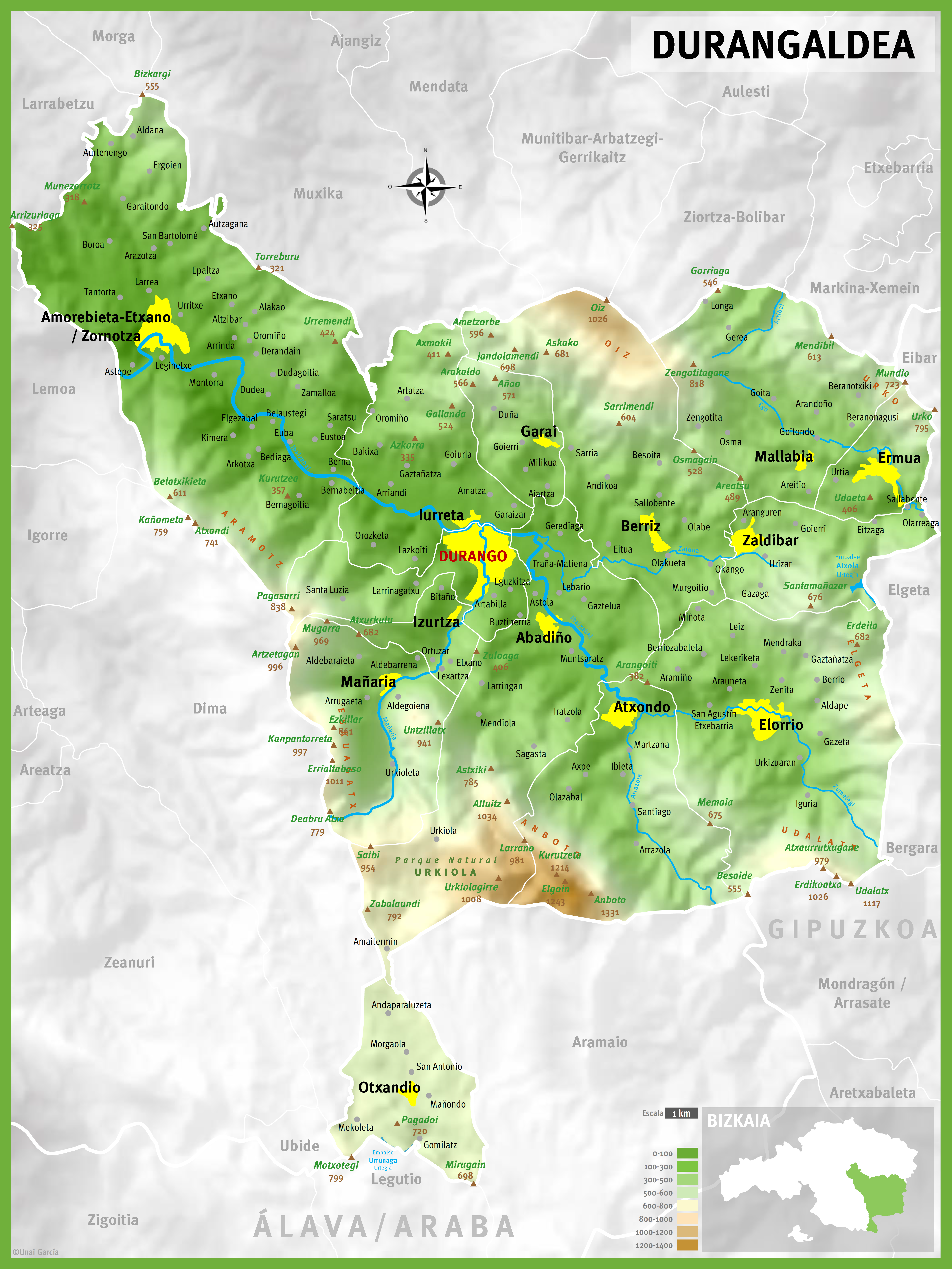
Español: Mapa de Durangaldea
Euskara: Durangaldeko mapa
English: Map of Durangaldea |
| Date | |
| Source | Own work |
| Author | TimeZonesBoy |
Licensing[edit]
.png&action=edit§ion=2)
I, the copyright holder of this work, hereby publish it under the following license:
This file is licensed under the Creative Commons Attribution-Share Alike 4.0 International license.
- You are free:
- to share – to copy, distribute and transmit the work
- to remix – to adapt the work
- Under the following conditions:
- attribution – You must give appropriate credit, provide a link to the license, and indicate if changes were made. You may do so in any reasonable manner, but not in any way that suggests the licensor endorses you or your use.
- share alike – If you remix, transform, or build upon the material, you must distribute your contributions under the same or compatible license as the original.
File history
Click on a date/time to view the file as it appeared at that time.
| Date/Time | Thumbnail | Dimensions | User | Comment | |
|---|---|---|---|---|---|
| current | 08:31, 1 May 2018 | | 5,194 × 6,924 (14.78 MB) | UnaitxuGV (talk | contribs) | Corrections / Zuzenketak / Correcciones |
| 08:08, 1 May 2018 |  | 5,192 × 6,923 (14.78 MB) | UnaitxuGV (talk | contribs) | Correcciones y mejoras / Zuzenketak eta hobekuntzak / Corrections and renovations | |
| 19:12, 3 April 2018 |  | 5,189 × 6,928 (14.81 MB) | UnaitxuGV (talk | contribs) | Corregidos varios errores / Corrected some mistakes | |
| 19:39, 18 January 2018 |  | 5,195 × 6,926 (14.82 MB) | UnaitxuGV (talk | contribs) | Actualizado y mejor descripción del relieve. Better resolution and better description of the relife | |
| 22:05, 17 December 2016 |  | 3,895 × 5,194 (2.26 MB) | UnaitxuGV (talk | contribs) | Mejoras / Hobekuntzak | |
| 09:56, 2 December 2016 |  | 3,892 × 5,191 (2.25 MB) | UnaitxuGV (talk | contribs) | Añadida mas información y localizaciones Informazio eta kokapen gehiago gehituta Added more information and locations | |
| 20:46, 24 November 2016 |  | 5,194 × 6,927 (2.92 MB) | UnaitxuGV (talk | contribs) | Mejoras | |
| 11:09, 24 November 2016 |  | 5,196 × 6,924 (2.93 MB) | UnaitxuGV (talk | contribs) | Añadidos varios barrios que faltaban, y mejorado la visualización | |
| 18:50, 22 November 2016 |  | 5,192 × 6,924 (2.78 MB) | UnaitxuGV (talk | contribs) | User created page with UploadWizard |
You cannot overwrite this file.
File usage on Commons
There are no pages that use this file.
.png&oldid=476849291)