File:Districts of Punjab, India.svg
Jump to navigation
Jump to search

Size of this PNG preview of this SVG file: 556 × 599 pixels. Other resolutions: 223 × 240 pixels | 445 × 480 pixels | 713 × 768 pixels | 950 × 1,024 pixels | 1,901 × 2,048 pixels | 955 × 1,029 pixels.
Original file (SVG file, nominally 955 × 1,029 pixels, file size: 122 KB)
Captions
Captions
Add a one-line explanation of what this file represents
Summary[edit]
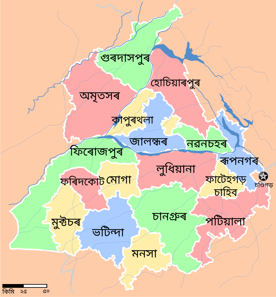
| Description | Districts of the state of w:Punjab, India with district boundaries, major highways, railways and water bodies. in Assamese language. |
| Date | (UTC) |
| Source |
This file was derived from: Punjab locator map.svg:  |
| Author |
|
| This is a retouched picture, which means that it has been digitally altered from its original version. Modifications: District names are added in Assamese language. The original can be viewed here: Punjab locator map.svg:
|
Licensing[edit]
I, the copyright holder of this work, hereby publish it under the following license:
This file is licensed under the Creative Commons Attribution-Share Alike 3.0 Unported license.
- You are free:
- to share – to copy, distribute and transmit the work
- to remix – to adapt the work
- Under the following conditions:
- attribution – You must give appropriate credit, provide a link to the license, and indicate if changes were made. You may do so in any reasonable manner, but not in any way that suggests the licensor endorses you or your use.
- share alike – If you remix, transform, or build upon the material, you must distribute your contributions under the same or compatible license as the original.
Original upload log[edit]
This image is a derivative work of the following images:
- File:Punjab_locator_map.svg licensed with Cc-by-sa-3.0
- 2007-04-25T18:27:41Z Planemad 955x1029 (177965 Bytes) reupload, forgot crop
- 2007-04-25T18:25:41Z Planemad 0x0 (192941 Bytes) {{WikiProject_India_Maps |Title=Punjab locator map |Description=Locator map of the state of [[w:Punjab]], [[w:India|India]] with district boundaries, major highways, railways and water bodies. |Source=[www.punjabtourism.org/t
Uploaded with derivativeFX
File history
Click on a date/time to view the file as it appeared at that time.
| Date/Time | Thumbnail | Dimensions | User | Comment | |
|---|---|---|---|---|---|
| current | 14:07, 14 May 2022 | | 955 × 1,029 (122 KB) | MS Sakib (talk | contribs) | Font changed // Editing SVG source code using c:User:Rillke/SVGedit.js |
| 13:29, 12 July 2012 |  | 955 × 1,029 (122 KB) | Simbu123 (talk | contribs) | == {{int:filedesc}} == {{Information |Description=Districts of the state of w:Punjab, India with district boundaries, major highways, railways and water bodies. in Assamese language. |Source={{Derived from|Punjab_locator_map.svg|display... |
You cannot overwrite this file.
File usage on Commons
The following page uses this file: