File:Descent of Illgill Head - geograph.org.uk - 837691.jpg
Jump to navigation
Jump to search
No higher resolution available.
Descent_of_Illgill_Head_-_geograph.org.uk_-_837691.jpg (640 × 427 pixels, file size: 136 KB, MIME type: image/jpeg)
Captions
Captions
Add a one-line explanation of what this file represents
Summary[edit]
| Description |
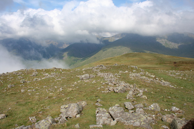
English: Descent of Illgill Head View broadly north east from the start of the descent of Illgill Head. The ground to this side of the 609 metre summit is strewn with boulders, unlike much of the rest of the grassy ridge of Illgill Head and Whin Rigg. Lingmell (centre left) and the lower slopes of Scafell Pike are visible in the distance |
| Date | |
| Source | From geograph.org.uk |
| Author | Espresso Addict |
| Attribution (required by the license) | Espresso Addict / Descent of Illgill Head / |
| Camera location | | View this and other nearby images on: OpenStreetMap |
|---|
_heading:45.00&language=en)
| Object location | | View this and other nearby images on: OpenStreetMap |
|---|
_heading:45.00&language=en)
Licensing[edit]

|
This image was taken from the Geograph project collection. See this photograph's page on the Geograph website for the photographer's contact details. The copyright on this image is owned by Espresso Addict and is licensed for reuse under the Creative Commons Attribution-ShareAlike 2.0 license.
|
This file is licensed under the Creative Commons Attribution-Share Alike 2.0 Generic license.
Attribution: Espresso Addict
- You are free:
- to share – to copy, distribute and transmit the work
- to remix – to adapt the work
- Under the following conditions:
- attribution – You must give appropriate credit, provide a link to the license, and indicate if changes were made. You may do so in any reasonable manner, but not in any way that suggests the licensor endorses you or your use.
- share alike – If you remix, transform, or build upon the material, you must distribute your contributions under the same or compatible license as the original.
File history
Click on a date/time to view the file as it appeared at that time.
| Date/Time | Thumbnail | Dimensions | User | Comment | |
|---|---|---|---|---|---|
| current | 19:05, 20 February 2011 | | 640 × 427 (136 KB) | GeographBot (talk | contribs) | == {{int:filedesc}} == {{Information |description={{en|1=Descent of Illgill Head View broadly north east from the start of the descent of Illgill Head. The ground to this side of the 609 metre summit is strewn with boulders, unlike much of the rest of the |
You cannot overwrite this file.
File usage on Commons
There are no pages that use this file.