File:Derby Racecourse Station (geograph 5077378).jpg
Jump to navigation
Jump to search
Size of this preview: 800 × 600 pixels. Other resolutions: 320 × 240 pixels | 640 × 480 pixels | 1,024 × 768 pixels | 1,280 × 960 pixels.
Original file (1,280 × 960 pixels, file size: 642 KB, MIME type: image/jpeg)
Captions
Captions
Add a one-line explanation of what this file represents
Summary[edit]
.jpg&action=edit§ion=1)
| Description |
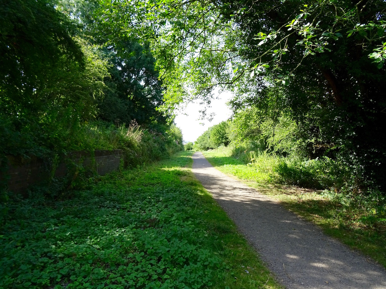
English: Derby Racecourse Station Derby Racecourse Station, on the former Great Northern Railway, had a loading dock and paddock for visiting race horses. The pub, nearby, is still called The Paddock but the railway and race course are long gone. The former track bed is now part of the Great Northern Greenway. |
| Date | |
| Source | From geograph.org.uk |
| Author | Ian Calderwood |
| Permission (Reusing this file) |
Creative Commons Attribution Share-alike license 2.0 |
| Attribution (required by the license) | Ian Calderwood / Derby Racecourse Station / |
| Camera location | | View this and other nearby images on: OpenStreetMap |
|---|
.jpg¶ms=052.943383_N_-001.460076_E_globe:Earth_type:camera_source:geograph-osgb36(SK36383858)_heading:202.00&language=en)
| Object location | | View this and other nearby images on: OpenStreetMap |
|---|
.jpg¶ms=052.943110_N_-001.460230_E_globe:Earth_class:object_type:object_source:geograph-osgb36(SK36373855)_heading:202.00&language=en)
Licensing[edit]
.jpg&action=edit§ion=2)

|
This image was taken from the Geograph project collection. See this photograph's page on the Geograph website for the photographer's contact details. The copyright on this image is owned by Ian Calderwood and is licensed for reuse under the Creative Commons Attribution-ShareAlike 2.0 license.
|
This file is licensed under the Creative Commons Attribution-Share Alike 2.0 Generic license.
Attribution: Ian Calderwood
- You are free:
- to share – to copy, distribute and transmit the work
- to remix – to adapt the work
- Under the following conditions:
- attribution – You must give appropriate credit, provide a link to the license, and indicate if changes were made. You may do so in any reasonable manner, but not in any way that suggests the licensor endorses you or your use.
- share alike – If you remix, transform, or build upon the material, you must distribute your contributions under the same or compatible license as the original.
File history
Click on a date/time to view the file as it appeared at that time.
| Date/Time | Thumbnail | Dimensions | User | Comment | |
|---|---|---|---|---|---|
| current | 14:29, 25 November 2020 | | 1,280 × 960 (642 KB) | Lamberhurst (talk | contribs) | Transferred from geograph.co.uk using [https://tools.wmflabs.org/geograph2commons/ geograph2commons] |
You cannot overwrite this file.
File usage on Commons
The following page uses this file:
.jpg&oldid=605030834)