File:Demonstratie schapen drijven in de Zwinstreek.jpg
Jump to navigation
Jump to search

Size of this preview: 800 × 535 pixels. Other resolutions: 320 × 214 pixels | 640 × 428 pixels | 1,024 × 684 pixels | 1,280 × 855 pixels | 1,745 × 1,166 pixels.
Original file (1,745 × 1,166 pixels, file size: 615 KB, MIME type: image/jpeg)
Captions
Captions
Add a one-line explanation of what this file represents
Summary[edit]
| Description |
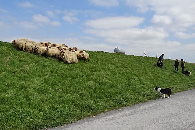
Nederlands: Eeuwenlang waren herders actief in de Zwinstreek. Ter gelegenheid van Erfgoeddag 2021 vroeg het Centrum Agrarische Geschiedenis aan herderin Leen Ricour om een demonstratie schapen drijven te geven in het Zwin.
|
|||
| Date | ||||
| Source | Own work | |||
| Author | Brigand1987 |


| Camera location | | View this and other nearby images on: OpenStreetMap |
|---|
Internationale Dijk, Knokke-Heist
Licensing[edit]
I, the copyright holder of this work, hereby publish it under the following license:
This file is licensed under the Creative Commons Attribution-Share Alike 4.0 International license.
- You are free:
- to share – to copy, distribute and transmit the work
- to remix – to adapt the work
- Under the following conditions:
- attribution – You must give appropriate credit, provide a link to the license, and indicate if changes were made. You may do so in any reasonable manner, but not in any way that suggests the licensor endorses you or your use.
- share alike – If you remix, transform, or build upon the material, you must distribute your contributions under the same or compatible license as the original.

|
This image was uploaded as part of the photo contest Wiki Loves Heritage in Belgium in 2021.
|
File history
Click on a date/time to view the file as it appeared at that time.
| Date/Time | Thumbnail | Dimensions | User | Comment | |
|---|---|---|---|---|---|
| current | 08:24, 28 October 2021 | | 1,745 × 1,166 (615 KB) | Brigand1987 (talk | contribs) | Uploaded own work with UploadWizard |
You cannot overwrite this file.
File usage on Commons
There are no pages that use this file.
File usage on other wikis
The following other wikis use this file:
- Usage on nl.wikipedia.org