File:DeBry Map of Caribbean & Florida1594.jpg
Jump to navigation
Jump to search

Size of this preview: 800 × 540 pixels. Other resolutions: 320 × 216 pixels | 640 × 432 pixels | 1,024 × 691 pixels | 1,280 × 863 pixels | 1,619 × 1,092 pixels.
Original file (1,619 × 1,092 pixels, file size: 1.68 MB, MIME type: image/jpeg)
Captions
Captions
Add a one-line explanation of what this file represents
Summary[edit]
| Description |
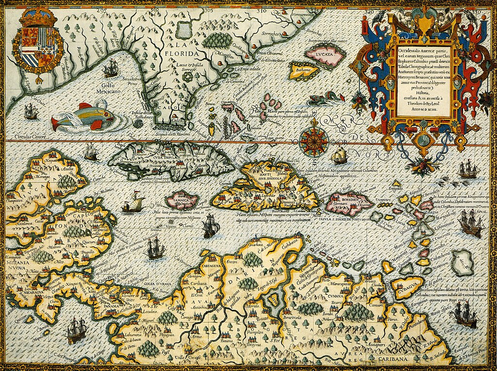
English: Map of Florida and the Caribbean from 1594 |
|||||||||||||||||||||||
| Date | ||||||||||||||||||||||||
| Source | De Bry, Theodore, Grands and Petits Voyages (First Latin Edition, Third Issue), 1590 - 1634. | |||||||||||||||||||||||
| Author |
|
|||||||||||||||||||||||
| Permission (Reusing this file) |
|
|||||||||||||||||||||||

File history
Click on a date/time to view the file as it appeared at that time.
| Date/Time | Thumbnail | Dimensions | User | Comment | |
|---|---|---|---|---|---|
| current | 17:02, 2 April 2017 | | 1,619 × 1,092 (1.68 MB) | Eastfarthingan (talk | contribs) | Close up of Cuba & Hispaniola |
| 16:56, 2 April 2017 |  | 3,576 × 2,673 (9.23 MB) | Eastfarthingan (talk | contribs) | User created page with UploadWizard |
You cannot overwrite this file.
File usage on Commons
There are no pages that use this file.
File usage on other wikis
The following other wikis use this file:
- Usage on en.wikipedia.org
- Usage on it.wikipedia.org
- Usage on www.wikidata.org
Metadata
Categories:
- 1594 maps of North America
- 16th-century maps of the Spanish Empire
- Caribbean Sea in art
- 16th-century maps of Cuba
- 16th-century maps of Puerto Rico
- 16th-century maps of Venezuela
- Maps of colonial Florida
- Maps of the Captaincy General of Cuba
- Theodor de Bry
- 1590s maps of the Caribbean
- 16th-century maps of Hispaniola
- Florida in the 1590s