File:Danmark med bilande - Map of Denmark 19th century.jpg
Jump to navigation
Jump to search
Size of this preview: 600 × 600 pixels. Other resolutions: 240 × 240 pixels | 480 × 480 pixels | 768 × 768 pixels | 1,024 × 1,024 pixels | 2,048 × 2,048 pixels | 7,510 × 7,509 pixels.
Original file (7,510 × 7,509 pixels, file size: 9.64 MB, MIME type: image/jpeg)
Captions
Captions
Add a one-line explanation of what this file represents
| Warning | The original file is very high-resolution. It might not load properly or could cause your browser to freeze when opened at full size. |
|---|
Summary
[edit]
| Description |
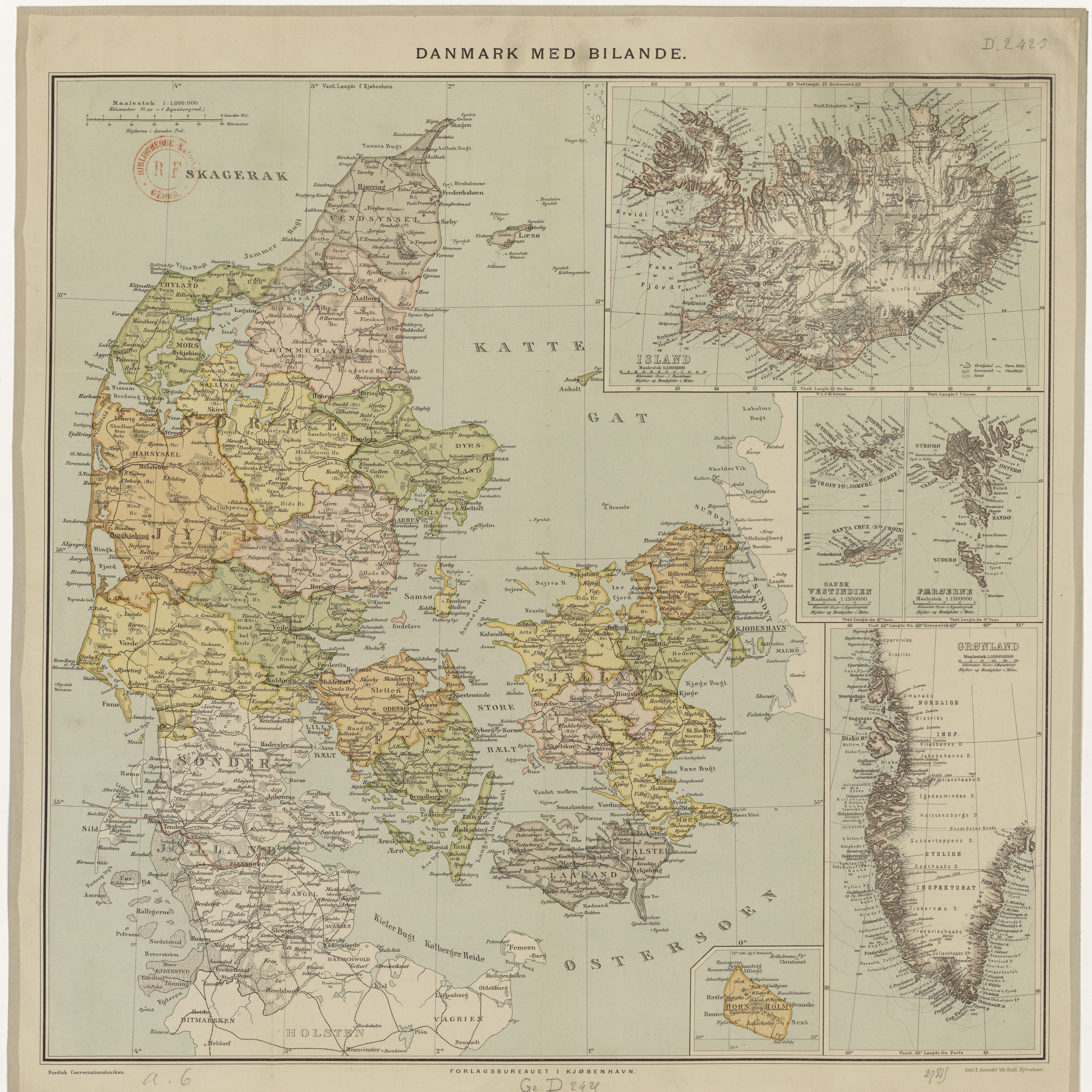
English: Map of Denmark, with administrative subdivisions, insets of dependencies: Faroe Islands, Iceland, Greenland, Danish Virgin Islands. Original size 44 by 45 cm. Publisher: Forlagsbureauet (Kjöbenhavn). |
| Date | |
| Source | http://gallica.bnf.fr/ark:/12148/btv1b84412806 |
| Author | not stated |
Licensing
[edit]
|
This work is in the public domain in its country of origin and other countries and areas where the copyright term is the author's life plus 70 years or fewer. This work is in the public domain in the United States because it was published (or registered with the U.S. Copyright Office) before January 1, 1929. | |
| This file has been identified as being free of known restrictions under copyright law, including all related and neighboring rights. | |
File history
Click on a date/time to view the file as it appeared at that time.
| Date/Time | Thumbnail | Dimensions | User | Comment | |
|---|---|---|---|---|---|
| current | 20:08, 3 September 2017 | | 7,510 × 7,509 (9.64 MB) | Ratzer (talk | contribs) | User created page with UploadWizard |
You cannot overwrite this file.
File usage on Commons
There are no pages that use this file.
File usage on other wikis
The following other wikis use this file:
- Usage on da.wikipedia.org
- Usage on de.wikipedia.org