File:Danish bikelane 1.jpg
Jump to navigation
Jump to search
Size of this preview: 800 × 476 pixels. Other resolutions: 320 × 190 pixels | 640 × 381 pixels | 1,024 × 609 pixels | 1,280 × 761 pixels | 2,500 × 1,487 pixels.
Original file (2,500 × 1,487 pixels, file size: 1.81 MB, MIME type: image/jpeg)
Captions
Captions
Add a one-line explanation of what this file represents
Summary[edit]
| Description |
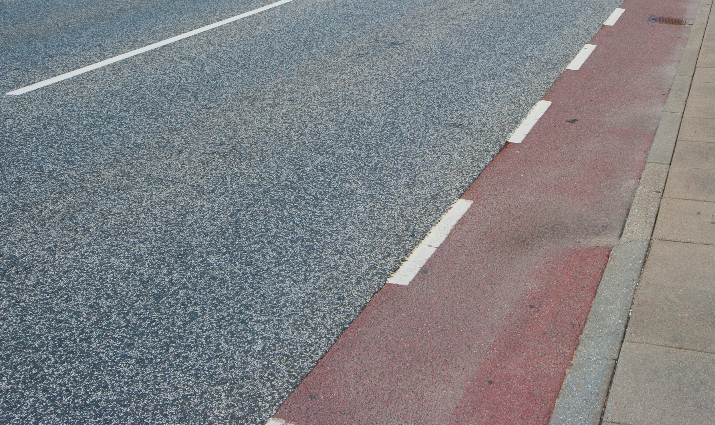
English: Bikeway in Denmark, separated from the rest of the road by a white line and painted in red. |
| Date | |
| Source | Own work |
| Author | heb@Wikimedia Commons (mail) |
| Permission (Reusing this file) |
Attribution (see license details below), to be credited with
|
| Camera location | | View this and other nearby images on: OpenStreetMap |
|---|
Licensing[edit]
This file is licensed under the Creative Commons Attribution-Share Alike 3.0 Unported license.
- You are free:
- to share – to copy, distribute and transmit the work
- to remix – to adapt the work
- Under the following conditions:
- attribution – You must give appropriate credit, provide a link to the license, and indicate if changes were made. You may do so in any reasonable manner, but not in any way that suggests the licensor endorses you or your use.
- share alike – If you remix, transform, or build upon the material, you must distribute your contributions under the same or compatible license as the original.
File history
Click on a date/time to view the file as it appeared at that time.
| Date/Time | Thumbnail | Dimensions | User | Comment | |
|---|---|---|---|---|---|
| current | 07:08, 3 April 2013 | | 2,500 × 1,487 (1.81 MB) | Heb (talk | contribs) | Wikify EXIF. Original upload date: 2011-07-14 |
You cannot overwrite this file.
File usage on Commons
The following 2 pages use this file: