File:DRC-locator.PNG
Jump to navigation
Jump to search
No higher resolution available.
DRC-locator.PNG (330 × 355 pixels, file size: 46 KB, MIME type: image/png)
Captions
Captions
Add a one-line explanation of what this file represents
Summary[edit]
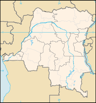
| Description | Blank map of Congo-Kinshasa |
| Date | |
| Source | on the base of CIA factbook |
| Author | user:Obersachse |
| Permission (Reusing this file) |
PD |
Licensing[edit]
This image is in the public domain because it contains materials that originally came from the United States Central Intelligence Agency's World Factbook.
|
 |
File history
Click on a date/time to view the file as it appeared at that time.
| Date/Time | Thumbnail | Dimensions | User | Comment | |
|---|---|---|---|---|---|
| current | 08:50, 18 January 2010 | | 330 × 355 (46 KB) | Moyogo (talk | contribs) | added current districts and provinces borders (soon to be replaced according to the 2006 constitution, but already delayed) |
| 10:02, 6 June 2007 |  | 330 × 355 (7 KB) | Obersachse (talk | contribs) | {{Information |Description= |Source=on the base of CIA factbook |Date=2007-06-06 |Author=user:Obersachse |Permission= |other_versions= }} |
You cannot overwrite this file.
File usage on Commons
There are no pages that use this file.
File usage on other wikis
The following other wikis use this file:
- Usage on de.wikipedia.org
- Usage on kn.wikipedia.org
- Usage on la.wikipedia.org
- Usage on pms.wikipedia.org
- Usage on roa-tara.wikipedia.org
- Usage on simple.wikipedia.org
- Usage on te.wikipedia.org
- Usage on zh-min-nan.wikipedia.org