File:Cow parsley on the Marriotts Way - geograph.org.uk - 1293338.jpg
Jump to navigation
Jump to search
No higher resolution available.
Cow_parsley_on_the_Marriotts_Way_-_geograph.org.uk_-_1293338.jpg (640 × 480 pixels, file size: 128 KB, MIME type: image/jpeg)
Captions
Captions
Add a one-line explanation of what this file represents
Summary[edit]
| Description |
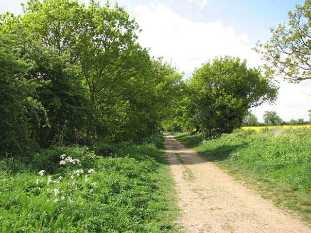
English: Cow parsley on the Marriotts Way This section of the Marriotts Way long distance footpath once carried the East Norfolk Railway and was consequently run by the Great Eastern Railway and later forming part of the London and North Eastern Railway in 1923.
Aylsham once used to have two railway stations. Aylsham South was in operation from 1880 to 1981. It was opened by the East Norfolk Railway and consequently run by the Great Eastern Railway and forming part of the London and North Eastern Railway in 1923. In 1948 the station passed on to the Eastern Region of British Railways. The passenger service stopped in 1952 but the freight service continued until 1977. When it was taken over by the narrow-gauge Bure Valley Railway in 1990, the station - one of the most complete remaining Great Eastern stations in Norfolk -was demolished to make way for the headquarters of the Bure Valley Railway > https://www.geograph.org.uk/photo/761149 - https://www.geograph.org.uk/photo/761162. Aylsham North railway station > https://www.geograph.org.uk/photo/1290565 was operated by the Midland and Great Northern Joint Railway line, linking the Midlands with the Norfolk Coast and finally closed (and demolished) in 1959. |
| Date | |
| Source | From geograph.org.uk |
| Author | Evelyn Simak |
| Attribution (required by the license) | Evelyn Simak / Cow parsley on the Marriotts Way / |
| Camera location | | View this and other nearby images on: OpenStreetMap |
|---|
_heading:270.00&language=en)
| Object location | | View this and other nearby images on: OpenStreetMap |
|---|
_heading:270.00&language=en)
Licensing[edit]

|
This image was taken from the Geograph project collection. See this photograph's page on the Geograph website for the photographer's contact details. The copyright on this image is owned by Evelyn Simak and is licensed for reuse under the Creative Commons Attribution-ShareAlike 2.0 license.
|
This file is licensed under the Creative Commons Attribution-Share Alike 2.0 Generic license.
Attribution: Evelyn Simak
- You are free:
- to share – to copy, distribute and transmit the work
- to remix – to adapt the work
- Under the following conditions:
- attribution – You must give appropriate credit, provide a link to the license, and indicate if changes were made. You may do so in any reasonable manner, but not in any way that suggests the licensor endorses you or your use.
- share alike – If you remix, transform, or build upon the material, you must distribute your contributions under the same or compatible license as the original.
File history
Click on a date/time to view the file as it appeared at that time.
| Date/Time | Thumbnail | Dimensions | User | Comment | |
|---|---|---|---|---|---|
| current | 09:13, 27 February 2011 | | 640 × 480 (128 KB) | GeographBot (talk | contribs) | == {{int:filedesc}} == {{Information |description={{en|1=Cow parsley on the Marriotts Way This section of the Marriotts Way long distance footpath once carried the East Norfolk Railway and was consequently run by the Great Eastern Railway and later formin |
You cannot overwrite this file.
File usage on Commons
There are no pages that use this file.