File:Concrete-map-symbols.svg
Jump to navigation
Jump to search

Size of this PNG preview of this SVG file: 554 × 491 pixels. Other resolutions: 271 × 240 pixels | 542 × 480 pixels | 867 × 768 pixels | 1,155 × 1,024 pixels | 2,311 × 2,048 pixels.
Original file (SVG file, nominally 554 × 491 pixels, file size: 24 KB)
Captions
Captions
Add a one-line explanation of what this file represents
Summary[edit]
| Description |
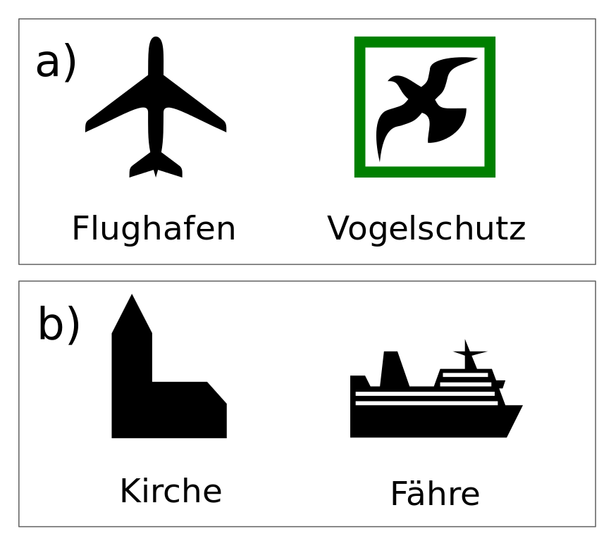
English: Concrete map symbols (in german):
a) plan view symbols b) front elevation view |
| Date | |
| Source |
Own work, using:
This W3C-unspecified vector image was created with Inkscape . |
| Author | Rosso Robot |
Licensing[edit]
I, the copyright holder of this work, hereby publish it under the following licenses:
This file is licensed under the Creative Commons Attribution-Share Alike 3.0 Unported license.
- You are free:
- to share – to copy, distribute and transmit the work
- to remix – to adapt the work
- Under the following conditions:
- attribution – You must give appropriate credit, provide a link to the license, and indicate if changes were made. You may do so in any reasonable manner, but not in any way that suggests the licensor endorses you or your use.
- share alike – If you remix, transform, or build upon the material, you must distribute your contributions under the same or compatible license as the original.

|
Permission is granted to copy, distribute and/or modify this document under the terms of the GNU Free Documentation License, Version 1.2 or any later version published by the Free Software Foundation; with no Invariant Sections, no Front-Cover Texts, and no Back-Cover Texts. A copy of the license is included in the section entitled GNU Free Documentation License. |
You may select the license of your choice.
File history
Click on a date/time to view the file as it appeared at that time.
| Date/Time | Thumbnail | Dimensions | User | Comment | |
|---|---|---|---|---|---|
| current | 22:18, 30 January 2010 | | 554 × 491 (24 KB) | Rosso Robot (talk | contribs) | alignment |
| 22:12, 30 January 2010 | 1,100 × 260 (23 KB) | Rosso Robot (talk | contribs) | smaller font | ||
| 22:04, 30 January 2010 | 1,100 × 260 (23 KB) | Rosso Robot (talk | contribs) | plain-svg | ||
| 22:03, 30 January 2010 | 1,100 × 260 (27 KB) | Rosso Robot (talk | contribs) | {{Information |Description={{en|1=Concrete map symbols: a) plan view symbols b) front elevation view}} {{de|1=Konkrete oder Abstrakte Signaturformen als: a) Grundrissdarstellung b) Aufrissdarstellung}} |Source={{own}}, using |
You cannot overwrite this file.
File usage on Commons
The following page uses this file:
File usage on other wikis
The following other wikis use this file:
- Usage on de.wikipedia.org