File:Columbian School on Dixie Highway.jpg
Jump to navigation
Jump to search
Size of this preview: 800 × 600 pixels. Other resolutions: 320 × 240 pixels | 640 × 480 pixels | 1,024 × 768 pixels | 1,280 × 960 pixels | 2,560 × 1,920 pixels | 2,816 × 2,112 pixels.
Original file (2,816 × 2,112 pixels, file size: 1.56 MB, MIME type: image/jpeg)
Captions
Captions
Add a one-line explanation of what this file represents
|
This is an image of a place or building that is listed on the National Register of Historic Places in the United States of America. Its reference number is 83002650. |
| Camera location | | View this and other nearby images on: OpenStreetMap |
|---|
| Description |
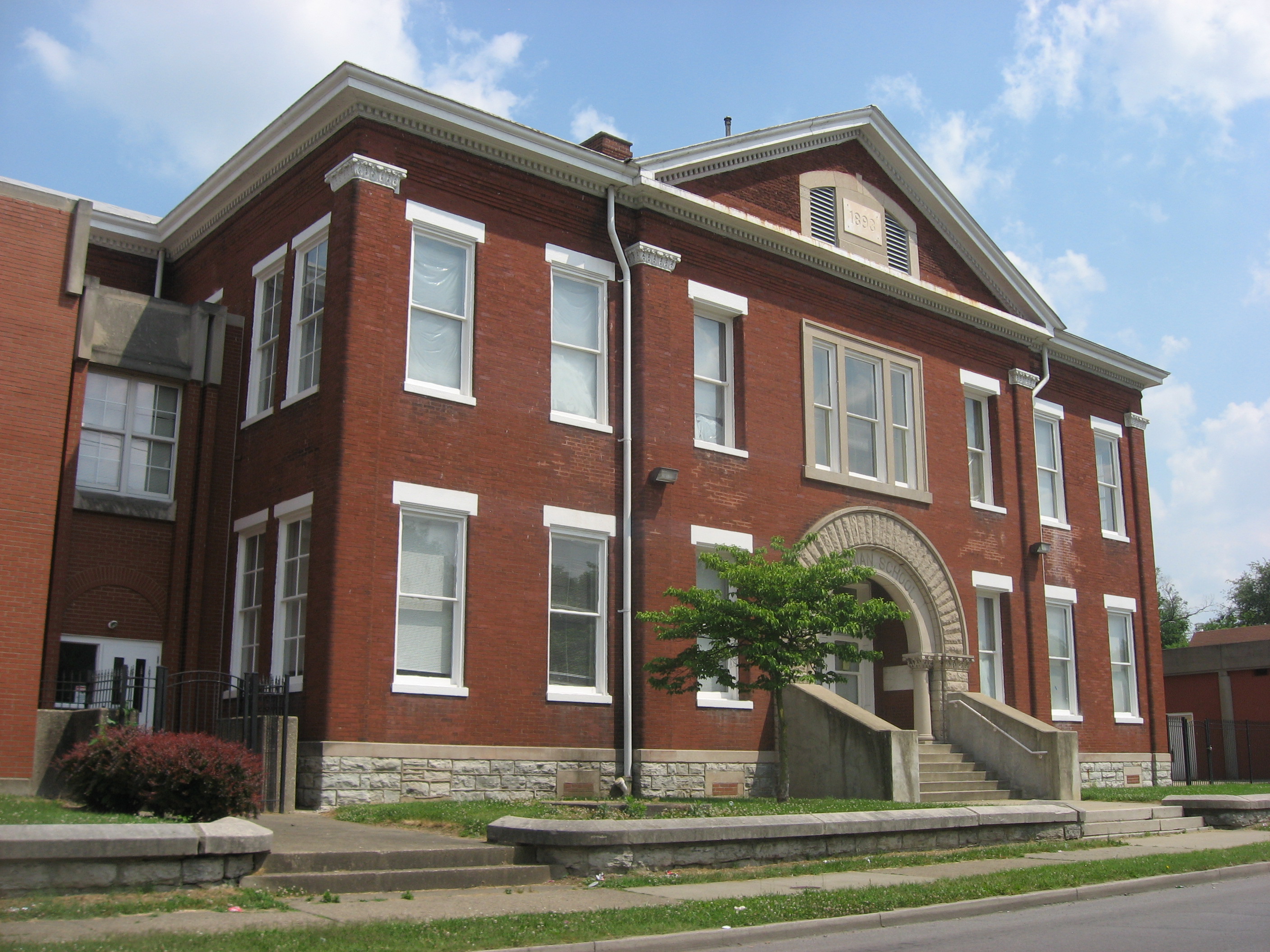
English: Front of the Columbian School, located on the eastern side of Dixie Highway (U.S. Route 60) immediately south of the Wilson Avenue intersection in Louisville, Kentucky, United States. Built in 1893, it is listed on the National Register of Historic Places. |
||
| Date | Taken on 8 June 2013 | ||
| Source | Own work | ||
| Author | Nyttend | ||
| Permission (Reusing this file) |
|
File history
Click on a date/time to view the file as it appeared at that time.
| Date/Time | Thumbnail | Dimensions | User | Comment | |
|---|---|---|---|---|---|
| current | 02:46, 10 July 2013 | | 2,816 × 2,112 (1.56 MB) | Nyttend (talk | contribs) | {{NRHP|83002650}} {{Location|38|14|1|N|85|47|17|W}} {{Information |Description={{en|Front of the {{w|Columbian School (Louisville, Kentucky)|Columbian School}}, located on the eastern side of Dixie Highway ({{w|U.S. Route 60}}) immediately south of the... |
You cannot overwrite this file.
File usage on Commons
There are no pages that use this file.
File usage on other wikis
The following other wikis use this file:
- Usage on en.wikipedia.org
Metadata
Categories:
- Built in Kentucky in 1893
- Brick buildings in Louisville, Kentucky
- National Register of Historic Places in Jefferson County, Kentucky
- Romanesque Revival architecture in Kentucky
- Schools in Louisville, Kentucky
- U.S. Route 60 in Kentucky
- Schools on the National Register of Historic Places in Kentucky
- Former schools in Kentucky
- Apartment buildings on the National Register of Historic Places in Kentucky