File:Colorado and Utah map ca.1922.png
Jump to navigation
Jump to search
Size of this preview: 800 × 453 pixels. Other resolutions: 320 × 181 pixels | 640 × 362 pixels | 1,024 × 579 pixels | 1,280 × 724 pixels | 2,560 × 1,448 pixels | 3,748 × 2,120 pixels.
Original file (3,748 × 2,120 pixels, file size: 15 MB, MIME type: image/png)
Captions
Captions
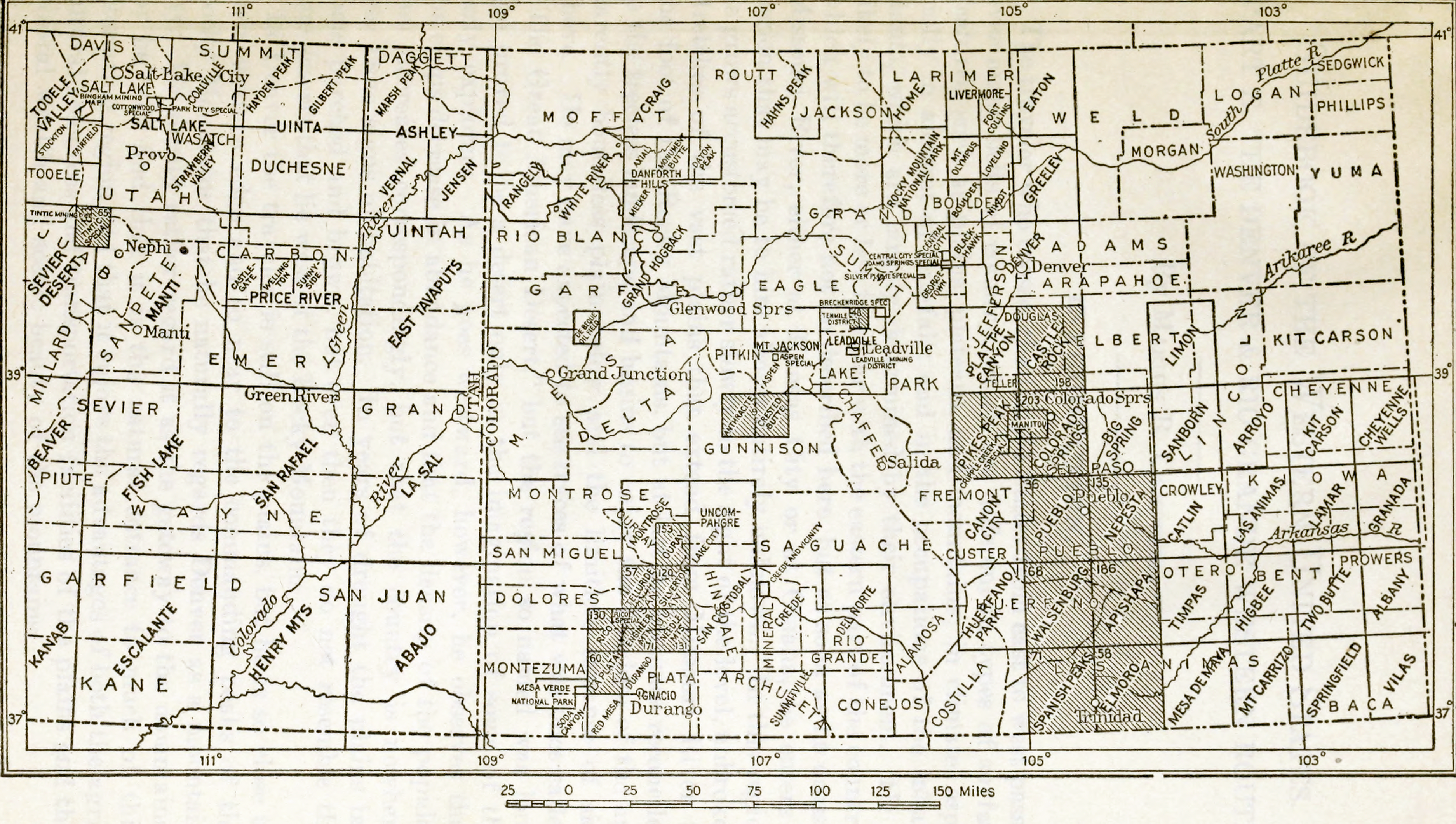
Colorado and Utah map ca.1922
Summary[edit]
| Description |
English: Colorado and Utah map ca.1922 |
| Date | |
| Source | https://archive.org/details/guidebookofweste00camp |
| Author | USGS |
Licensing[edit]
This work is in the public domain in the United States because it was published (or registered with the U.S. Copyright Office) before January 1, 1929.
Public domain works must be out of copyright in both the United States and in the source country of the work in order to be hosted on the Commons. If the work is not a U.S. work, the file must have an additional copyright tag indicating the copyright status in the source country.
Note: This tag should not be used for sound recordings. |
File history
Click on a date/time to view the file as it appeared at that time.
| Date/Time | Thumbnail | Dimensions | User | Comment | |
|---|---|---|---|---|---|
| current | 05:32, 13 June 2023 | | 3,748 × 2,120 (15 MB) | Epolk (talk | contribs) | Uploaded a work by USGS from https://archive.org/details/guidebookofweste00camp with UploadWizard |
You cannot overwrite this file.
File usage on Commons
There are no pages that use this file.