File:Collingbourne Kingston Halt.jpg
Collingbourne_Kingston_Halt.jpg (640 × 480 pixels, file size: 101 KB, MIME type: image/jpeg)
Captions
Captions
Summary[edit]
| Description |
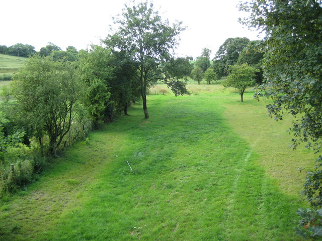
English: The former Midland and South Western Junction Railway (M&SWJR) extended their main line from Swindon to Andover through Collingbourne Kingston along this route in 1891. However it was not until 1932 that the halt here was built and a photograph available elsewhere on the internet shows that it was nothing more than a couple of short wooden platforms each with a rudimentary corrugated metal hut as a waiting room.
The train service was odd to say the least, with a 1953 timetable showing 3 trains leaving northbound for Swindon at 8.18 am, 3.01 pm and 6.07 pm, with the first and the last continuing the full length of the M&SWJR to Cheltenham, while there were 4 trains leaving southbound for Andover at 8.41 am, 4.11 pm, 5.40 pm and 7.57 pm. However the timetable did show the through timings to get from Collingbourne Kingston to Newcastle-upon-Tyne if you so desired (arriving at 6.29 pm if you caught the 8.18 am or 4.22 am if you caught the 6.07 pm...) The whole line was closed in September 1961, just a couple of months after Doctor Richard Beeching became Chairman of the British Railways Board. So the railway was already out of use by the time that Beeching's first report announcing wholesale closures of the railway network was published in 1963. |
| Date | |
| Source | From geograph.org.uk |
| Author | Nigel Cox |
| Attribution (required by the license) | Nigel Cox / Collingbourne Kingston: Site of the former railway station halt / |
| Camera location | | View this and other nearby images on: OpenStreetMap |
|---|
_heading:180.00&language=en)
| Object location | | View this and other nearby images on: OpenStreetMap |
|---|
_heading:180.00&language=en)
Licensing[edit]

|
This image was taken from the Geograph project collection. See this photograph's page on the Geograph website for the photographer's contact details. The copyright on this image is owned by Nigel Cox and is licensed for reuse under the Creative Commons Attribution-ShareAlike 2.0 license.
|
- You are free:
- to share – to copy, distribute and transmit the work
- to remix – to adapt the work
- Under the following conditions:
- attribution – You must give appropriate credit, provide a link to the license, and indicate if changes were made. You may do so in any reasonable manner, but not in any way that suggests the licensor endorses you or your use.
- share alike – If you remix, transform, or build upon the material, you must distribute your contributions under the same or compatible license as the original.
File history
Click on a date/time to view the file as it appeared at that time.
| Date/Time | Thumbnail | Dimensions | User | Comment | |
|---|---|---|---|---|---|
| current | 11:03, 1 October 2010 | | 640 × 480 (101 KB) | Lamberhurst (talk | contribs) | == {{int:filedesc}} == {{Information |description={{en|1=The former {{w|Midland and South Western Junction Railway}} (M&SWJR) extended their main line from Swindon to Andover through Collingbourne Kingston along this route in 1891. However it was not unti |
You cannot overwrite this file.
File usage on Commons
There are no pages that use this file.
File usage on other wikis
The following other wikis use this file:
- Usage on en.wikipedia.org
- Usage on www.wikidata.org