File:Cohrs atlas över Sverige 0011 Närke Södermanland Västmanland.jpg

Original file (4,125 × 3,164 pixels, file size: 3.39 MB, MIME type: image/jpeg)
Captions
Captions
| Description |
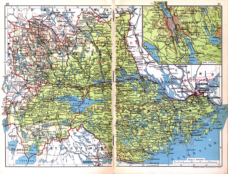
English: Map of provinces Närke, Södermanland, Västmanland in Sweden.
Svenska: Karta över Närke, Södermanland, Västmanland. |
||||
| Date | |||||
| Source | Cohrs atlas över Sverige (1928), p. 20-21, as scanned in 400 dpi for Project Runeberg | ||||
| Author | Cartographer Edvard Cohrs (1858-1934). Scanned by LA2 | ||||
| Permission (Reusing this file) |
|
||||
File history
Click on a date/time to view the file as it appeared at that time.
| Date/Time | Thumbnail | Dimensions | User | Comment | |
|---|---|---|---|---|---|
| current | 00:50, 12 November 2009 | | 4,125 × 3,164 (3.39 MB) | LA2 (talk | contribs) | {{Information |Description={{en|1=Map of provinces Närke, Södermanland, Västmanland in Sweden.}} {{sv|1=Karta över Närke, Södermanland, Västmanland.}} |Source=[http://runeberg.org/svcohrs/0011.html Cohrs atlas över Sverige (1928), p. 20-21], as sc |
You cannot overwrite this file.
File usage on Commons
There are no pages that use this file.
File usage on other wikis
The following other wikis use this file:
- Usage on sv.wikipedia.org