File:Ciudades con Teleferico en América Latina.svg
Jump to navigation
Jump to search

Size of this PNG preview of this SVG file: 494 × 599 pixels. Other resolutions: 198 × 240 pixels | 396 × 480 pixels | 633 × 768 pixels | 844 × 1,024 pixels | 1,688 × 2,048 pixels | 512 × 621 pixels.
Original file (SVG file, nominally 512 × 621 pixels, file size: 457 KB)
Captions
Captions
Add a one-line explanation of what this file represents
Summary[edit]
| Description |
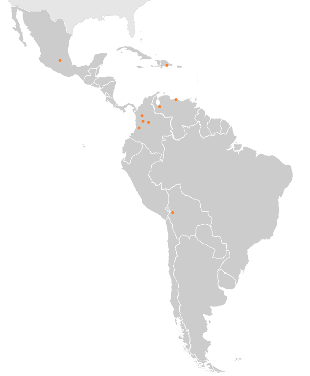
Español: Mapa señalando las ciudades con sistemas de teleférico como transporte público en América Latina
English: Map of cities in Latin America that have a cable car system as public transportation. |
| Date | |
| Source | File:America-blank-map-01.svg |
| Author | Aninonimo usando mapa de xZise (Originally Haylli made valid by carol |
Licensing[edit]
This file is licensed under the Creative Commons Attribution-Share Alike 3.0 Unported license.
- You are free:
- to share – to copy, distribute and transmit the work
- to remix – to adapt the work
- Under the following conditions:
- attribution – You must give appropriate credit, provide a link to the license, and indicate if changes were made. You may do so in any reasonable manner, but not in any way that suggests the licensor endorses you or your use.
- share alike – If you remix, transform, or build upon the material, you must distribute your contributions under the same or compatible license as the original.
File history
Click on a date/time to view the file as it appeared at that time.
| Date/Time | Thumbnail | Dimensions | User | Comment | |
|---|---|---|---|---|---|
| current | 22:10, 27 January 2019 | | 512 × 621 (457 KB) | Aninonimo (talk | contribs) | Se añade Bogotá |
| 03:22, 25 November 2018 |  | 512 × 621 (456 KB) | Aninonimo (talk | contribs) | User created page with UploadWizard |
You cannot overwrite this file.
File usage on Commons
The following 9 pages use this file:
- User:Chumwa/OgreBot/Potential transport maps/2018 November 21-30
- User:Chumwa/OgreBot/Potential transport maps/2019 January 21-31
- User:Chumwa/OgreBot/Public transport information/2018 November 21-30
- User:Chumwa/OgreBot/Public transport information/2019 January 21-31
- User:Chumwa/OgreBot/Transport Maps/2018 November 21-30
- User:Chumwa/OgreBot/Transport Maps/2019 January 21-31
- User:Chumwa/OgreBot/Travel and communication maps/2018 November 21-30
- User:Chumwa/OgreBot/Travel and communication maps/2019 January 21-31
- User:HombreDHojalata/Favorites
File usage on other wikis
The following other wikis use this file:
- Usage on es.wikipedia.org