File:City locator 25.svg
Jump to navigation
Jump to search
Size of this PNG preview of this SVG file: 16 × 16 pixels. Other resolutions: 240 × 240 pixels | 480 × 480 pixels | 768 × 768 pixels | 1,024 × 1,024 pixels | 2,048 × 2,048 pixels.
Original file (SVG file, nominally 16 × 16 pixels, file size: 350 bytes)
Captions
Captions
Add a one-line explanation of what this file represents
Summary[edit]
| Description |
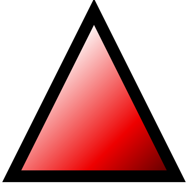
Français : Icône de géolocalisation version 25 ville d'altitude, ou village d'altitude, ou refuge d'altitude, ou sommet particulier. |
| Date | |
| Source | Wikisoft* @@@-fr 07:19, 23 September 2008 (UTC) |
| Author | Wikisoft* @@@-fr 07:19, 23 September 2008 (UTC) |
| Other versions |
[] |
This symbol was created with a text editor.

Previous version had been created with Inkscape (4453 bytes) y now 7.85% of previous size
Please do not replace the simplified code of this file with a version created with Inkscape or any other vector graphics editor
Licensing[edit]
I, the copyright holder of this work, hereby publish it under the following licenses:

|
Permission is granted to copy, distribute and/or modify this document under the terms of the GNU Free Documentation License, Version 1.2 or any later version published by the Free Software Foundation; with no Invariant Sections, no Front-Cover Texts, and no Back-Cover Texts. A copy of the license is included in the section entitled GNU Free Documentation License. |
| This file is licensed under the Creative Commons Attribution-Share Alike 3.0 Unported license. | ||
| ||
| This licensing tag was added to this file as part of the GFDL licensing update. |
You may select the license of your choice.
File history
Click on a date/time to view the file as it appeared at that time.
| Date/Time | Thumbnail | Dimensions | User | Comment | |
|---|---|---|---|---|---|
| current | 19:53, 8 August 2010 |  | 16 × 16 (350 bytes) | Sertion (talk | contribs) | smaller. |
| 07:19, 23 September 2008 |  | 16 × 16 (4 KB) | Wikisoft* (talk | contribs) | {{Information |Description={{fr|1=Icône de géolocalisation version 25}} |Source=~~~~ |Author=~~~~ |Date=23/09/2008 |Permission=GFDL |other_versions=de 0 à 24 }} fr:Géolocalisation <!--{{ImageUpload|full}}--> Category:Icons [[Category:Géoloca |
You cannot overwrite this file.
File usage on Commons
The following 40 pages use this file:
- User:Wikisoft*/City locator
- User:Wikisoft*/Icônes
- File:City locator 0.svg
- File:City locator 1.svg
- File:City locator 10.svg
- File:City locator 10 green.svg
- File:City locator 11.svg
- File:City locator 12.svg
- File:City locator 14.svg
- File:City locator 14 2.svg
- File:City locator 15.svg
- File:City locator 16.svg
- File:City locator 17.svg
- File:City locator 18.svg
- File:City locator 19.svg
- File:City locator 2.svg
- File:City locator 20.svg
- File:City locator 21.svg
- File:City locator 22.svg
- File:City locator 23.svg
- File:City locator 24.svg
- File:City locator 26.svg
- File:City locator 27.svg
- File:City locator 28.svg
- File:City locator 29.svg
- File:City locator 3.svg
- File:City locator 30.svg
- File:City locator 31.svg
- File:City locator 32.svg
- File:City locator 33.svg
- File:City locator 34.svg
- File:City locator 4.svg
- File:City locator 5.svg
- File:City locator 6.svg
- File:City locator 7.svg
- File:City locator 8.svg
- File:City locator 9.svg
- File:City locator Airport.svg
- File:City locator Montagne.svg
- Template:Other versions/City locators
File usage on other wikis
The following other wikis use this file:
- Usage on ar.wikipedia.org
- Usage on br.wikipedia.org
- Usage on ca.wikipedia.org
- Plantilla:Location map
- Plantilla:Location map/ús
- Plantilla:Location map+
- Plantilla:Location map+/ús
- Plantilla:Location map many
- Plantilla:Location map many/ús
- Plantilla:Location map/prova
- Plantilla:Location map/prova/ús
- Plantilla:Location map+/prova
- Plantilla:Location map+/prova/ús
- Plantilla:Location map marques
- Plantilla:Location map marques/prova
- Usage on eo.wikipedia.org
- Usage on es.wikipedia.org
- Usage on fi.wikipedia.org
- Usage on fr.wikipedia.org
- Sentier de grande randonnée 2
- Utilisateur:Barbe-sauvage/Racagnac
- Discussion aide:Paramètre statut
- Aide:Paramètre statut
- Sentier de grande randonnée R2
- Discussion utilisateur:STyx/2008
- Sentier de grande randonnée 34
- Sentier de grande randonnée 3
- Utilisateur:Wikisoft*/Géobox2
- Modèle:Point/25
- Discussion utilisateur:Wikisoft*/Page2
- Utilisateur:Wikisoft*/Atelier3
- Modèle:Ligne-graphe
- Modèle:Ligne-graphe/Documentation
- Utilisateur:Wikisoft*/Icônes
- Utilisateur:Touchatou
- Sentier de grande randonnée 97
- Portail:Saskatchewan/Index thématique
- Modèle:Géolocalisation/Saskatchewan
- Modèle:Carte/Saskatchewan
- Sentier de grande randonnée 67
View more global usage of this file.